Hrdibořice | |
|---|---|
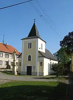 Chapel of Saint Florian | |
 Flag  Coat of arms | |
 Hrdibořice Location in the Czech Republic | |
| Coordinates: 49°28′43″N 17°13′14″E / 49.47861°N 17.22056°E | |
| Country | |
| Region | Olomouc |
| District | Prostějov |
| First mentioned | 1254 |
| Area | |
| • Total | 3.79 km2 (1.46 sq mi) |
| Elevation | 214 m (702 ft) |
| Population (2023-01-01)[1] | |
| • Total | 215 |
| • Density | 57/km2 (150/sq mi) |
| Time zone | UTC+1 (CET) |
| • Summer (DST) | UTC+2 (CEST) |
| Postal code | 798 12 |
| Website | www |
Hrdibořice is a municipality and village in Prostějov District in the Olomouc Region of the Czech Republic. It has about 200 inhabitants.
Hrdibořice lies approximately 9 kilometres (6 mi) east of Prostějov, 13 km (8 mi) south of Olomouc, and 213 km (132 mi) east of Prague.
References
External links
Wikimedia Commons has media related to Hrdibořice.
This article is issued from Wikipedia. The text is licensed under Creative Commons - Attribution - Sharealike. Additional terms may apply for the media files.