40°34′54″N 44°22′29″E / 40.58167°N 44.37472°E
Kayk
Կայք | |
|---|---|
 Kayk, Aragatsotn Province | |
 Kayk 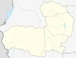 Kayk | |
| Coordinates: 40°35′11″N 44°22′17″E / 40.58639°N 44.37139°E | |
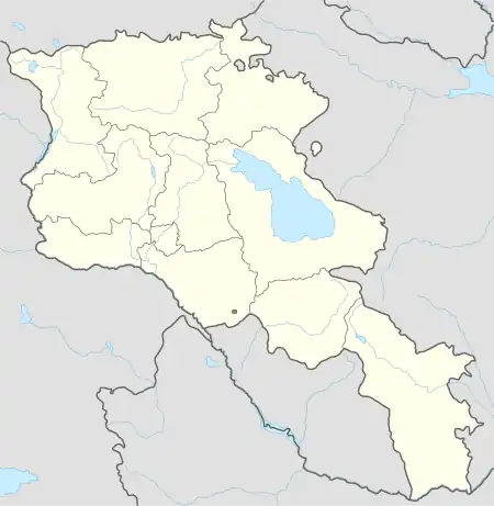
| Country | Armenia |
| Province | Aragatsotn |
| Municipality | Aparan |
| Elevation | 1,850 m (6,070 ft) |
| Population (2001) | |
| • Total | 554 |
| Time zone | UTC+4 |
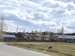
Kayk (Armenian: Կայք) is a village in the Aparan Municipality of the Aragatsotn Province of Armenia located 29 km away from Ashtarak 1850 meters above the sea level.[1] The population migrated to Kayk during 1828-1929 from villages of Alashkert, Mush, Khoy, and Salmast regions.[1][2] It was renamed Kayk in 2006.[1]
Further reading
References
- 1 2 3 "Նշված չէ". aparan.am. Retrieved 2019-09-04.
- ↑ "Հայաստանի եւ հարակից շրջանների տեղանունների բառարան, Թ.Խ. Հակոբյան, Ստ.Տ. Մելիք-Բախշյան, Հ.Խ. Բարսեղյան - Մուլք". www.nayiri.com. Retrieved 2019-09-04.

This article is issued from Wikipedia. The text is licensed under Creative Commons - Attribution - Sharealike. Additional terms may apply for the media files.