40°27′11″N 44°27′51″E / 40.45306°N 44.46417°E
Yernjatap
Երնջատափ | |
|---|---|
.jpg.webp) | |
 Yernjatap 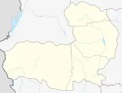 Yernjatap | |
| Coordinates: 40°27′11″N 44°27′51″E / 40.45306°N 44.46417°E | |
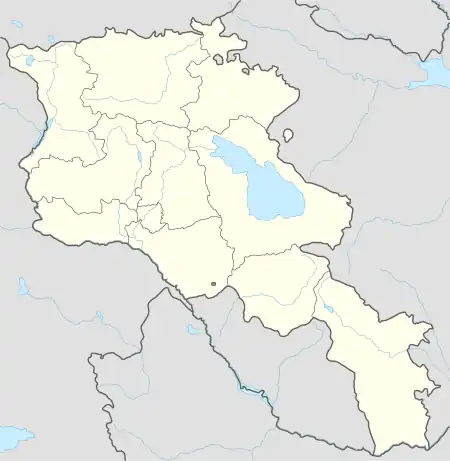
| Country | Armenia |
| Province | Aragatsotn |
| Municipality | Aparan |
| Elevation | 1,850 m (6,070 ft) |
| Population (2009) | |
| • Total | 723 |
| Time zone | UTC+4 |
| • Summer (DST) | UTC+5 |
Yernjatap (Armenian: Երնջատափ) is a village in the Aparan Municipality of the Aragatsotn Province of Armenia.
References

This article is issued from Wikipedia. The text is licensed under Creative Commons - Attribution - Sharealike. Additional terms may apply for the media files.