40°20′43″N 44°03′20″E / 40.34528°N 44.05556°E
Nerkin Bazmaberd
Ներքին Բազմաբերդ | |
|---|---|
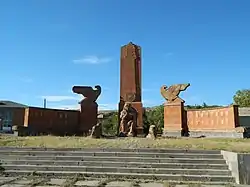
 ՀՈՒՇԱՐՁԱՆ` ԵՐԿՐՈՐԴ ԱՇԽԱՐՀԱՄԱՐՏՈՒՄ ԶՈՀՎԱԾՆԵՐԻ ՀԻՇԱՏԱԿԻՆ | |
 Nerkin Bazmaberd  Nerkin Bazmaberd | |
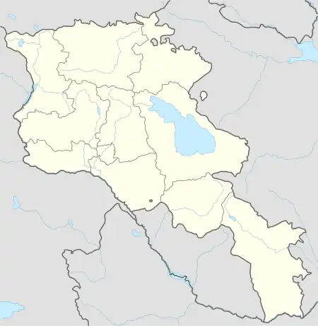
| Coordinates: 40°20′43″N 44°03′20″E / 40.34528°N 44.05556°E | |
| Country | Armenia |
| Province | Aragatsotn |
| Municipality | Talin |
| Population (2008) | |
| • Total | 1,438 |
| Time zone | UTC+4 |
| • Summer (DST) | UTC+5 |
Nerkin Bazmaberd (Armenian: Ներքին Բազմաբերդ), formerly known as Agdzhakala, Aghjaghala, Nerkin Agdzhakala, or Nerkin Hajighala,[1] is a village in the Talin Municipality of the Aragatsotn Province of Armenia. It was renamed Nerkin Bazmaberd on November 12, 1946.[1] The population descends from refugees and migrants from the occupied Sasun and Mush provinces of the Ottoman Empire (current Turkey) in 1915–1918.[1]
References
- 1 2 3 "Հայաստանի եւ հարակից շրջանների տեղանունների բառարան, Թ.Խ. Հակոբյան, Ստ.Տ. Մելիք-Բախշյան, Հ.Խ. Բարսեղյան - Բազմաբերդ". www.nayiri.com. Retrieved 2019-09-04.
- Nerkin Bazmaberd at GEOnet Names Server
- World Gazetteer: Armenia – World-Gazetteer.com
- Report of the results of the 2001 Armenian Census
This article is issued from Wikipedia. The text is licensed under Creative Commons - Attribution - Sharealike. Additional terms may apply for the media files.
