La Motte-du-Caire | |
|---|---|
 War memorial | |
 Coat of arms | |
Location of La Motte-du-Caire | |
 La Motte-du-Caire 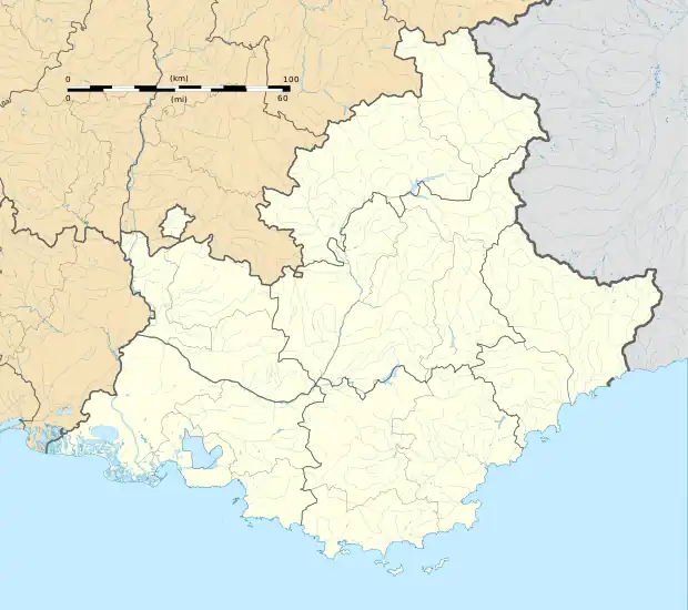 La Motte-du-Caire | |
| Coordinates: 44°20′40″N 6°01′45″E / 44.3444°N 6.0292°E | |
| Country | France |
| Region | Provence-Alpes-Côte d'Azur |
| Department | Alpes-de-Haute-Provence |
| Arrondissement | Forcalquier |
| Canton | Seyne |
| Government | |
| • Mayor (2020–2026) | Jérôme Francou[1] |
| Area 1 | 27.27 km2 (10.53 sq mi) |
| Population | 549 |
| • Density | 20/km2 (52/sq mi) |
| Time zone | UTC+01:00 (CET) |
| • Summer (DST) | UTC+02:00 (CEST) |
| INSEE/Postal code | 04134 /04250 |
| Elevation | 623–1,547 m (2,044–5,075 ft) (avg. 707 m or 2,320 ft) |
| 1 French Land Register data, which excludes lakes, ponds, glaciers > 1 km2 (0.386 sq mi or 247 acres) and river estuaries. | |
La Motte-du-Caire (French pronunciation: [la mɔt dy kɛʁ]; Occitan: La Mota dau Caire) is a commune in the Alpes-de-Haute-Provence department in southeastern France.
Population
| Year | Pop. | ±% p.a. |
|---|---|---|
| 1968 | 347 | — |
| 1975 | 420 | +2.77% |
| 1982 | 403 | −0.59% |
| 1990 | 438 | +1.05% |
| 1999 | 484 | +1.12% |
| 2009 | 516 | +0.64% |
| 2014 | 545 | +1.10% |
| 2020 | 550 | +0.15% |
| Source: INSEE[3] | ||
See also
References
- ↑ "Répertoire national des élus: les maires". data.gouv.fr, Plateforme ouverte des données publiques françaises (in French). 2 December 2020.
- ↑ "Populations légales 2021". The National Institute of Statistics and Economic Studies. 28 December 2023.
- ↑ Population en historique depuis 1968, INSEE
Wikimedia Commons has media related to La Motte-du-Caire.
This article is issued from Wikipedia. The text is licensed under Creative Commons - Attribution - Sharealike. Additional terms may apply for the media files.