Uvernet-Fours | |
|---|---|
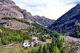 The hamlet of Bayasse in the La Moutière valley | |
 Coat of arms | |
Location of Uvernet-Fours | |
 Uvernet-Fours 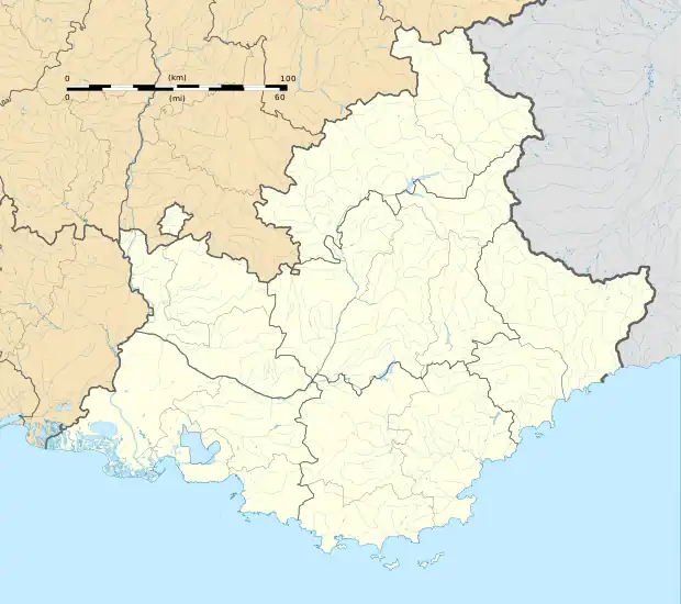 Uvernet-Fours | |
| Coordinates: 44°21′43″N 6°37′37″E / 44.3619°N 6.6269°E | |
| Country | France |
| Region | Provence-Alpes-Côte d'Azur |
| Department | Alpes-de-Haute-Provence |
| Arrondissement | Barcelonnette |
| Canton | Barcelonnette |
| Intercommunality | Vallée de l'Ubaye - Serre-Ponçon |
| Government | |
| • Mayor (2020–2026) | Patrick Bouvet[1] |
| Area 1 | 135.44 km2 (52.29 sq mi) |
| Population | 532 |
| • Density | 3.9/km2 (10/sq mi) |
| Time zone | UTC+01:00 (CET) |
| • Summer (DST) | UTC+02:00 (CEST) |
| INSEE/Postal code | 04226 /04400 |
| Elevation | 1,093–3,040 m (3,586–9,974 ft) (avg. 1,180 m or 3,870 ft) |
| 1 French Land Register data, which excludes lakes, ponds, glaciers > 1 km2 (0.386 sq mi or 247 acres) and river estuaries. | |
Uvernet-Fours (Occitan: Uvernet e Forns) is a commune in the Alpes-de-Haute-Provence department, southeastern France.
Population
| Year | Pop. | ±% p.a. |
|---|---|---|
| 1968 | 253 | — |
| 1975 | 506 | +10.41% |
| 1982 | 526 | +0.56% |
| 1990 | 543 | +0.40% |
| 1999 | 614 | +1.37% |
| 2009 | 623 | +0.15% |
| 2014 | 582 | −1.35% |
| 2020 | 562 | −0.58% |
| Source: INSEE[3] | ||
See also
References
- ↑ "Répertoire national des élus: les maires". data.gouv.fr, Plateforme ouverte des données publiques françaises (in French). 2 December 2020.
- ↑ "Populations légales 2021". The National Institute of Statistics and Economic Studies. 28 December 2023.
- ↑ Population en historique depuis 1968, INSEE
Wikimedia Commons has media related to Uvernet-Fours.
This article is issued from Wikipedia. The text is licensed under Creative Commons - Attribution - Sharealike. Additional terms may apply for the media files.