Persian: جزیره لاوان | |
|---|---|
 Lavan Island Lavan Island (Iran) 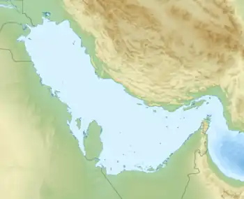 Lavan Island Lavan Island (Persian Gulf) | |
| Geography | |
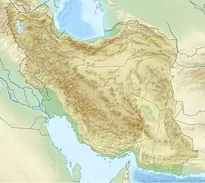
| Location | Persian Gulf |
| Coordinates | 26°48′20.99″N 53°16′4.80″E / 26.8058306°N 53.2680000°E |
| Area | 78 km2 (30 sq mi) |
| Length | 23.5 km (14.6 mi) |
| Width | 4.8 km (2.98 mi) |
| Administration | |
| Province | Hormozgan |
| Jazireh-ye Lavan Lighthouse | |
| Coordinates | 26°48′09.1″N 53°21′25.2″E / 26.802528°N 53.357000°E |
| Foundation | concrete base |
| Construction | metal skeletal tower |
| Shape | square pyramidal skeletal tower[1][2] |
| Focal height | 54 metres (177 ft) |
| Range | 15 nautical miles (28 km; 17 mi) |
| Characteristic | Fl (3) W 12s. |
Lavan Island (Persian: جزیرهٔ لاوان) (traditionally known as hidden pearl island or Sheikh Shoeyb island) is an Iranian island in the Persian Gulf. The 78 square kilometres (30 sq mi) island has one of the four major terminals for export of crude oil in Iran alongside Kharg island. Lavan island sits on top of Lavan gas field, containing 9.5 trillion cubic feet (2.7×10¹¹ cubic metres) of gas.[3] Administratively, the island forms part of the Lavan Rural District in Kish District, Bandar Lengeh County, Hormozgan Province. The island is served by Lavan Airport.
See also
References
- ↑ Rowlett, Russ. "Lighthouses of Iran". The Lighthouse Directory. University of North Carolina at Chapel Hill. Retrieved 2016-10-03.
- ↑ NGA List of Lights – Pub.112 Retrieved 3 October 2016
- ↑ "Archived copy". Archived from the original on 2012-01-08. Retrieved 2011-12-29.
{{cite web}}: CS1 maint: archived copy as title (link)
Iranian islands in the Persian Gulf | ||
|---|---|---|
| ||
Hormozgan Province, Iran | |||||||||||||||||||||||||
|---|---|---|---|---|---|---|---|---|---|---|---|---|---|---|---|---|---|---|---|---|---|---|---|---|---|
| Capital |  | ||||||||||||||||||||||||
| Counties and cities |
| ||||||||||||||||||||||||
| Sights |
| ||||||||||||||||||||||||
| populated places | |||||||||||||||||||||||||
| See also | |||||||||||||||||||||||||
26°48′35″N 53°16′8″E / 26.80972°N 53.26889°E
This article is issued from Wikipedia. The text is licensed under Creative Commons - Attribution - Sharealike. Additional terms may apply for the media files.