 | ||||
|---|---|---|---|---|
| Magistralni put M-12 | ||||
 | ||||
| Route information | ||||
| Length | 18.9 km (11.7 mi) | |||
| Major junctions | ||||
| South end | ||||
| North end | ||||
| Location | ||||
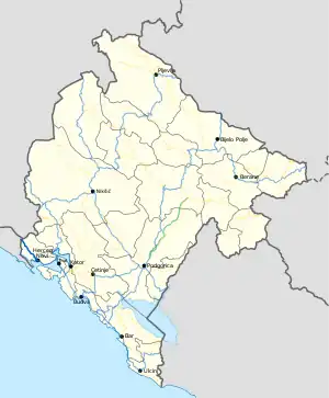
| Country | Montenegro | |||
| Municipalities | Herceg Novi | |||
| Highway system | ||||
| ||||
M-12 highway (Montenegrin: Magistralni put M-12) is a Montenegrin roadway.
History
In January 2016, the Ministry of Transport and Maritime Affairs published bylaw on categorisation of state roads.[1] With new categorisation, this road was categorised as M-12 highway.
Major intersections
| Municipality | Location | km | mi | Destinations | Notes |
|---|---|---|---|---|---|
| Herceg Novi | Meljine | 0.0 | 0.0 | ||
| Sitnica | 18.9 | 11.7 | border crossing with Bosnia and Herzegovina | ||
| 1.000 mi = 1.609 km; 1.000 km = 0.621 mi | |||||
References
- ↑ "Pravilnik o kategorizaciji državnih puteva" [Regulation on categorisation of state roads]. www.sluzbenilist.me (in Montenegrin). Official Gazette of Montenegro. 5 January 2016. Retrieved 14 February 2019.
| Motorways | ||
|---|---|---|
| Highways | ||
| Regional roads | ||
| ||
This article is issued from Wikipedia. The text is licensed under Creative Commons - Attribution - Sharealike. Additional terms may apply for the media files.