Mpohor | |
|---|---|
Town | |
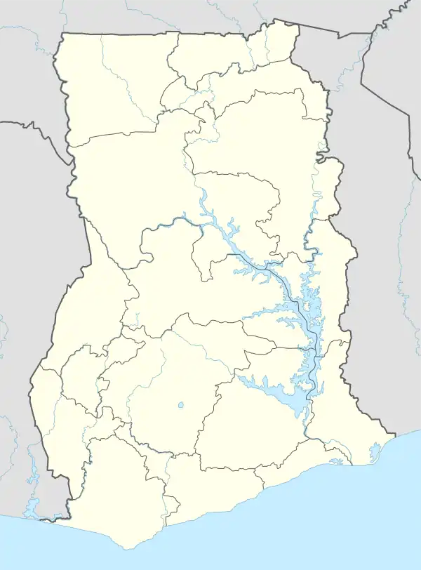 Mpohor Location of Mpohor | |
| Coordinates: 4°58′14″N 1°53′34″W / 4.97056°N 1.89278°W | |
| Country | |
| Region | Western Region |
| District | Mpohor |
| Elevation | 74 m (243 ft) |
| Time zone | GMT |
| • Summer (DST) | GMT |
| Ghana Post GPS | |
| Area code | +2333120 |
Mpohor is the administrative capital of the Mpohor District in the Western Region of Ghana. It has been the capital of the district since its creation in 2012.[1]
The town is at an elevation of 74 metre above sea level.[2]
Mpohor is located north west of Sekondi-Takoradi.
See also
References
- ↑ "Mpohor District Assembly". ghanadistricts.gov.gh. Retrieved 10 June 2021.
- ↑ "Mpoho, Ghana Page". www.fallingrain.com. Retrieved 10 June 2021.
External links
This article is issued from Wikipedia. The text is licensed under Creative Commons - Attribution - Sharealike. Additional terms may apply for the media files.