Benito Salas Airport Aeropuerto Benito Salas | |||||||||||
|---|---|---|---|---|---|---|---|---|---|---|---|
| Summary | |||||||||||
| Airport type | Public | ||||||||||
| Operator | Government | ||||||||||
| Serves | Neiva, Colombia | ||||||||||
| Elevation AMSL | 1,482 ft / 452 m | ||||||||||
| Coordinates | 2°57′00″N 75°17′39″W / 2.95000°N 75.29417°W | ||||||||||
| Map | |||||||||||
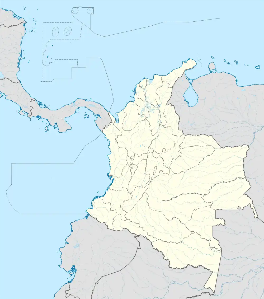
 NVA Location of airport in Colombia | |||||||||||
| Runways | |||||||||||
| |||||||||||
Benito Salas Airport (Spanish: Aeropuerto Benito Salas, IATA: NVA, ICAO: SKNV) is an airport that serves the city of Neiva, the capital of the Huila Department in Colombia. It was named after Benito Salas Vargas, a military and social leader during Colombia's (then known as New Granada) independence war (1810–1819).
The airport is in a rebuilding process that includes a new control tower and a new building with garages.[3] It was formerly known as "La Manguita airport" because it is placed in an old ranch with that name; even today people call it "La Manguita".
Airlines and destinations
| Airlines | Destinations |
|---|---|
| Avianca | Bogotá |
| Clic | Bogotá, Cali |
| LATAM Colombia | Bogotá[4] |
Accidents and incidents
- On 8 January 1975, Douglas DC-3 FAC-688 of SATENA crashed shortly after take-off on a flight to Gustavo Artunduaga Paredes Airport, Florencia. All 30 people on board died.[5]
See also
References
- ↑ "Airport information for SKNV". World Aero Data. Archived from the original on 2019-03-05.
{{cite web}}: CS1 maint: unfit URL (link) Data current as of October 2006. - ↑ Airport information for NVA at Great Circle Mapper.
- ↑ BNAmericas - Airport upgrades
- ↑ "LATAM Airlines inicia venta de su nueva ruta entre Bogotá y Neiva". 8 November 2021. Archived from the original on 9 November 2021. Retrieved 9 November 2021.
- ↑ "Accident description". Aviation Safety Network. Retrieved 17 August 2010.
External links
- Benito Salas Airport at OurAirports
- Aeronautical chart and airport information for Benito Salas Airport at SkyVector
- Accident history for NVA at Aviation Safety Network
This article is issued from Wikipedia. The text is licensed under Creative Commons - Attribution - Sharealike. Additional terms may apply for the media files.