Notikewin | |
|---|---|
 Notikewin Location of Notikewin 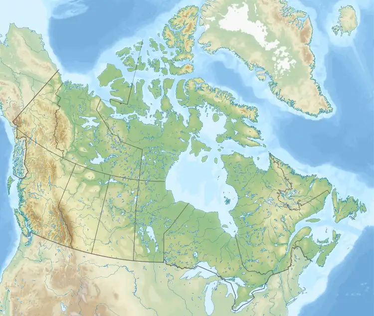 Notikewin Notikewin (Canada) | |
| Coordinates: 56°58′29″N 117°37′30″W / 56.97472°N 117.62500°W | |
| Country | Canada |
| Province | Alberta |
| Region | Northern Alberta |
| Census division | 17 |
| Municipal district | County of Northern Lights |
| Government | |
| • Type | Unincorporated |
| • Governing body | County of Northern Lights Council |
| Population (1991)[1] | |
| • Total | 17 |
| Time zone | UTC−07:00 (MST) |
| • Summer (DST) | UTC−06:00 (MDT) |
| Area code(s) | 780, 587, 825 |
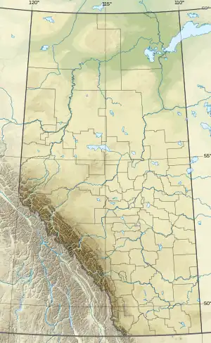
Notikewin is a hamlet in northern Alberta, Canada within the County of Northern Lights.[2] It is located along the Mackenzie Highway (Highway 35), approximately 6 kilometres (3.7 mi) north of the Town of Manning.
The name derives from nôtinikewin, the Cree word for "battle".[3][4] The name is shared with the Notikewin River, and is lent to the Notikewin Member, a stratigraphical unit of the Western Canadian Sedimentary Basin.
Climate
| Climate data for Notikewin | |||||||||||||
|---|---|---|---|---|---|---|---|---|---|---|---|---|---|
| Month | Jan | Feb | Mar | Apr | May | Jun | Jul | Aug | Sep | Oct | Nov | Dec | Year |
| Record high °C (°F) | 10 (50) |
17 (63) |
14 (57) |
29.4 (84.9) |
32.2 (90.0) |
34.4 (93.9) |
34 (93) |
36 (97) |
33 (91) |
26 (79) |
31.5 (88.7) |
12 (54) |
36 (97) |
| Mean daily maximum °C (°F) | −12.4 (9.7) |
−8.9 (16.0) |
−0.2 (31.6) |
10.2 (50.4) |
17.6 (63.7) |
21.4 (70.5) |
23 (73) |
21.7 (71.1) |
15.8 (60.4) |
8.6 (47.5) |
−4.1 (24.6) |
−9.8 (14.4) |
6.9 (44.4) |
| Daily mean °C (°F) | −18.8 (−1.8) |
−16.3 (2.7) |
−7.7 (18.1) |
3 (37) |
9.8 (49.6) |
14.2 (57.6) |
15.9 (60.6) |
14.2 (57.6) |
8.6 (47.5) |
2.1 (35.8) |
−9.6 (14.7) |
−16 (3) |
−0.1 (31.8) |
| Mean daily minimum °C (°F) | −24.9 (−12.8) |
−23.5 (−10.3) |
−15.1 (4.8) |
−4.3 (24.3) |
1.9 (35.4) |
6.9 (44.4) |
8.8 (47.8) |
6.7 (44.1) |
1.2 (34.2) |
−4.4 (24.1) |
−15.1 (4.8) |
−22.1 (−7.8) |
−7 (19) |
| Record low °C (°F) | −50.6 (−59.1) |
−47.8 (−54.0) |
−44.4 (−47.9) |
−30.6 (−23.1) |
−7.2 (19.0) |
−5 (23) |
0.5 (32.9) |
−3.9 (25.0) |
−18.9 (−2.0) |
−33 (−27) |
−40 (−40) |
−47.8 (−54.0) |
−50.6 (−59.1) |
| Average precipitation mm (inches) | 23.9 (0.94) |
18.4 (0.72) |
16.2 (0.64) |
13.2 (0.52) |
36.5 (1.44) |
66 (2.6) |
71.3 (2.81) |
51.1 (2.01) |
35.7 (1.41) |
21.5 (0.85) |
20.7 (0.81) |
16.5 (0.65) |
390.9 (15.39) |
| Source: Environment Canada[5] | |||||||||||||
Demographics
Notikewin recorded a population of 17 in the 1991 Census of Population conducted by Statistics Canada.[1]
See also
References
- 1 2 "91 Census: Unincorporated Places — Population and Dwelling Counts" (PDF). Statistics Canada. June 1993. Retrieved September 25, 2021.
- ↑ "Specialized and Rural Municipalities and Their Communities" (PDF). Alberta Municipal Affairs. January 12, 2022. Retrieved January 21, 2022.
- ↑ ePodunk. "Notikewin". Retrieved March 17, 2010.
- ↑ Cree dictionary. "nôtinikewin". Retrieved March 17, 2010.
- ↑ Environment Canada—. Retrieved 6 April 2010.
This article is issued from Wikipedia. The text is licensed under Creative Commons - Attribution - Sharealike. Additional terms may apply for the media files.