Paspardo
Pahpàrt | |
|---|---|
| Comune di Paspardo | |
.jpg.webp) Paspardo's panorama | |
Location of Paspardo | |
 Paspardo Location of Paspardo in Italy 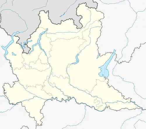 Paspardo Paspardo (Lombardy) | |
| Coordinates: 46°01′54″N 10°22′19″E / 46.03167°N 10.37194°E | |
| Country | Italy |
| Region | Lombardy |
| Province | Brescia (BS) |
| Area | |
| • Total | 10 km2 (4 sq mi) |
| Elevation | 978 m (3,209 ft) |
| Population (2011)[2] | |
| • Total | 650 |
| • Density | 65/km2 (170/sq mi) |
| Demonym | Paspardesi |
| Time zone | UTC+1 (CET) |
| • Summer (DST) | UTC+2 (CEST) |
| Postal code | 25050 |
| Dialing code | 0364 |
| Patron saint | San Gaudenzio |
| Saint day | 16 August |
| Website | Official website |
.jpg.webp)
the Town Hall
Paspardo (Camunian: Pahpàrt) is a comune in the province of Brescia, in Lombardy. It is situated in Val Camonica. Neighbouring communes are Capo di Ponte, Cedegolo and Cimbergo.
.jpg.webp)
Location of Paspardo in Val Camonica
Wikimedia Commons has media related to Paspardo.
References
- ↑ "Superficie di Comuni Province e Regioni italiane al 9 ottobre 2011". Italian National Institute of Statistics. Retrieved 16 March 2019.
- ↑ ISTAT
.jpg.webp)
This article is issued from Wikipedia. The text is licensed under Creative Commons - Attribution - Sharealike. Additional terms may apply for the media files.