Villanuova sul Clisi | |
|---|---|
| Comune di Villanuova sul Clisi | |
Location of Villanuova sul Clisi | |
 Villanuova sul Clisi Location of Villanuova sul Clisi in Italy 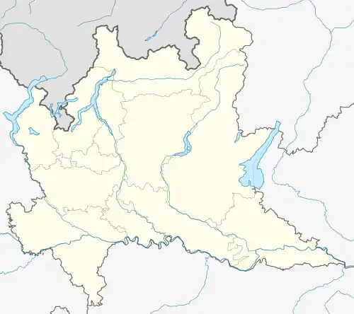 Villanuova sul Clisi Villanuova sul Clisi (Lombardy) | |
| Coordinates: 45°36′N 10°27′E / 45.600°N 10.450°E | |
| Country | Italy |
| Region | Lombardy |
| Province | Brescia (BS) |
| Frazioni | Berniga, Bondone, Bostone, Canneto, Mezzane, Peracque, Ponte Pier, Valverde |
| Area | |
| • Total | 9 km2 (3 sq mi) |
| Elevation | 216 m (709 ft) |
| Population (2011)[2] | |
| • Total | 5,837 |
| • Density | 650/km2 (1,700/sq mi) |
| Demonym | Villanovesi |
| Time zone | UTC+1 (CET) |
| • Summer (DST) | UTC+2 (CEST) |
| Postal code | 25089 |
| Dialing code | 0365 |
| ISTAT code | 017201 |
| Patron saint | Saint Matteo |
| Saint day | 21 September |
| Website | Official website |
Villanuova sul Clisi (Brescian: Elanöa) is a comune in the province of Brescia, in Lombardy, Italy. It is situated on the left bank of the river Chiese, known locally as Clisi. As of 2011 Villanuova sul Clisi had a population of 5,837.[2]
Sister city
Villanuova sul Clisi is twinned with:
 Trébeurden, France, since 2000.
References
- ↑ "Superficie di Comuni Province e Regioni italiane al 9 ottobre 2011". Italian National Institute of Statistics. Retrieved 16 March 2019.
- 1 2 ISTAT
This article is issued from Wikipedia. The text is licensed under Creative Commons - Attribution - Sharealike. Additional terms may apply for the media files.