Almirante Padilla Airport Aeropuerto Almirante Padilla | |||||||||||
|---|---|---|---|---|---|---|---|---|---|---|---|
| Summary | |||||||||||
| Airport type | Public | ||||||||||
| Operator | Aerocivil | ||||||||||
| Serves | Riohacha, Colombia | ||||||||||
| Elevation AMSL | 43 ft / 13 m | ||||||||||
| Coordinates | 11°31′35″N 72°55′35″W / 11.52639°N 72.92639°W | ||||||||||
| Map | |||||||||||
 RCH  RCH | |||||||||||
| Runways | |||||||||||
| |||||||||||
| Statistics (2009) | |||||||||||
| |||||||||||
Sources: GCM[1] | |||||||||||
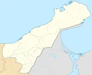
Almirante Padilla Airport (Spanish: Aeropuerto Almirante Padilla) (IATA: RCH, ICAO: SKRH) is an airport serving the Caribbean coastal city of Riohacha in the Guajira Department of Colombia. It is served by Avianca, and formerly by Tiara Air and Viva Air Colombia. The airport is on the southwestern edge of the city.
Airlines and destinations
The following airlines operate regular scheduled and charter flights at the airport:
| Airlines | Destinations |
|---|---|
| Avianca | Bogotá |
See also
References
- ↑ Airport information for RCH at Great Circle Mapper.
External links
- OurAirports - Riohacha
- FallingRain - Riohacha Airport
- Accident history for RCH at Aviation Safety Network
This article is issued from Wikipedia. The text is licensed under Creative Commons - Attribution - Sharealike. Additional terms may apply for the media files.