Template:Attached KML/SO postcode area
KML is from Wikidata
Southampton
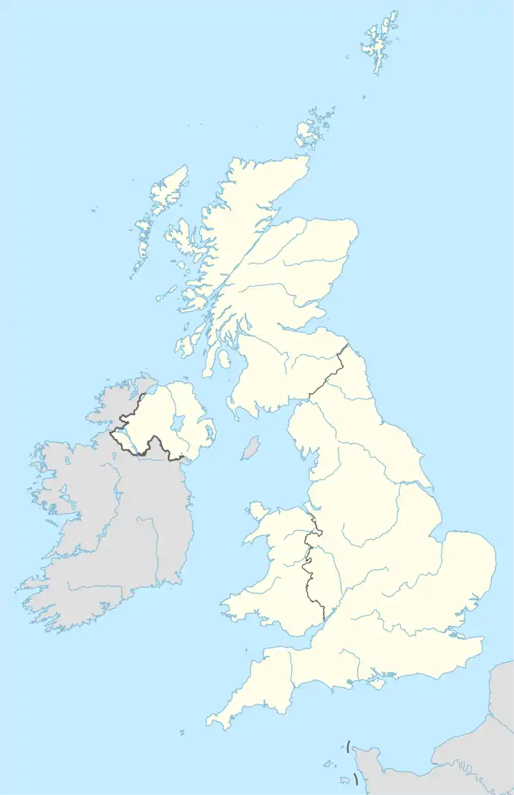
SO is located in the United Kingdom
SO
SO
Coordinates: 50°56′17″N 1°23′20″W / 50.938°N 1.389°W / 50.938; -1.389
CountryUnited Kingdom
Postcode area
SO
Postcode area name
Southampton
Post towns9
Postcode districts30
Postcode sectors179
Postcodes (live)18,298
Postcodes (total)40,011
Statistics as at May 2020[1]

The SO postcode area, also known as the Southampton postcode area,[2] is a group of 23 postcode districts in southern England, within nine post towns. These cover south and central Hampshire, including Southampton, Winchester, Alresford, Brockenhurst, Eastleigh, Lymington, Lyndhurst, Romsey and Stockbridge.

The SO area originally had both single and double-digit postcode districts.[3] From the inception of postcodes in Southampton, "large users" within the SO1 and SO2 postcode areas (which broadly covered the area of the city) were allocated SO9 postcodes.[4] In the early 1990s, a shortage of available postcodes occurred due to increased demand.[5] On 1 December 1993 Royal Mail took the step of dividing each of the existing single-digit districts, the numbers of the new subdivisions containing two digits rather than one. For example, the SO1 and SO2 districts were divided into SO14-19.[6] At the same time, ordinary "geographical" postcodes replaced the SO9 codes. Whilst this created thousands more possible postcode combinations, it resulted in the unusual situation where the centre of the postcode area, Southampton, lacks a district numbered 1. The area is one of only a few in the country where this is the case.

Coverage

The approximate coverage of the postcode districts:

Postcode district Post town Coverage Local authority area(s)
SO14 SOUTHAMPTON City Centre, St. Mary's, Newtown, Nicholstown, Northam, Ocean Village, Chapel, Eastern Docks, Bevois Valley Southampton
SO15 SOUTHAMPTON Shirley, Freemantle, Regents Park, Banister Park, Polygon, Millbrook, Maybush Redbridge Southampton
SO16 SOUTHAMPTON Bassett, Lordswood, Lordshill, Redbridge, Rownhams, Nursling, Chilworth, Shirley Warren Southampton, Test Valley
SO17 SOUTHAMPTON Highfield, Portswood, St Denys, Swaythling Southampton
SO18 SOUTHAMPTON Bitterne, Bitterne Park, Harefield, Townhill Park, Chartwell Green, Mansbridge, Southampton Airport Eastleigh, Southampton
SO19 SOUTHAMPTON Sholing, Merry Oak, Thornhill, Woolston, Weston Southampton
SO20 STOCKBRIDGE Stockbridge, King's Somborne, Middle Wallop Test Valley
SO21 WINCHESTER Compton, Colden Common, Easton, Hursley, Itchen Abbas, Martyr Worthy, Micheldever, Owslebury, Shawford, South Wonston, Sutton Scotney, Sparsholt, Twyford Winchester
SO22 WINCHESTER Badger Farm, Fulflood, Hursley, Littleton and Harestock, Olivers Battery, Pitt, St Cross (W), Stanmore, Weeke Winchester
SO23 WINCHESTER City Centre, Abbotts Barton, Bar End, Highcliffe, Hyde, St Cross (E), Winnall Winchester
SO24 ALRESFORD New Alresford, Old Alresford, Cheriton, Tichborne, Ropley Winchester
SO25 WINCHESTER Bulk users non-geographic
SO30 SOUTHAMPTON Botley, Hedge End, West End, Curbridge Eastleigh, Winchester
SO31 SOUTHAMPTON Warsash, Hamble-le-Rice, Locks Heath Netley Abbey Eastleigh, Fareham
SO32 SOUTHAMPTON Bishop's Waltham, Corhampton, Curdridge, Droxford, Durley, Exton, Meonstoke, Shedfield, Soberton, Swanmore, Upham, Warnford, Wickham Eastleigh, Winchester
SO40 SOUTHAMPTON Totton, Cadnam, Marchwood New Forest
LYNDHURST Lyndhurst
SO41 LYMINGTON Lymington, Milford-on-Sea, Pennington, Boldre, Hordle, Sway New Forest
SO42 BROCKENHURST Beaulieu, Brockenhurst, East Boldre New Forest
SO43 LYNDHURST Lyndhurst, Minstead, Bramshaw New Forest
SO45 SOUTHAMPTON Hythe, Fawley, Blackfield, Calshot, Hardley New Forest
SO50 EASTLEIGH Town Centre, Boyatt Wood, Fair Oak, Bishopstoke, Horton Heath Eastleigh
SO51 ROMSEY Romsey, Ampfield, Lockerley, Mottisfont, Wellow Test Valley
SO52 SOUTHAMPTON North Baddesley Test Valley
SO53 EASTLEIGH Chandler's Ford Eastleigh, Test Valley
SO97 SOUTHAMPTON Jobcentre Plus non-geographic

Map

Template:Attached KML/SO postcode area
KML is from Wikidata
SO postcode area map, showing postcode districts, post towns and neighbouring postcode areas.
SO postcode area map, showing postcode districts in red and post towns in grey text, with links to nearby BH, GU, PO, RG and SP postcode areas.

See also

References

  1. "ONS Postcode Directory Version Notes" (ZIP). National Statistics Postcode Products. Office for National Statistics. May 2020. Table 2. Retrieved 19 June 2020. Coordinates from mean of unit postcode points, "Code-Point Open". OS OpenData. Ordnance Survey. February 2012. Retrieved 21 April 2012.
  2. Royal Mail, Address Management Guide, (2004)
  3. Geographers' A-Z Map Co., Ltd, Street Atlas of Southampton, (1991)
  4. Kelly's Directory (1970) gives the address of the Head Post Office as 59 High Street, SO9 1AA.
  5. "Postcodes". Geographical Referencing Learning Resources. National Centre for Research Methods / University of Southampton. Retrieved 11 December 2021.
  6. Geographers' A-Z Map Co., Ltd, Street Atlas of Southampton, (1991)
This article is issued from Wikipedia. The text is licensed under Creative Commons - Attribution - Sharealike. Additional terms may apply for the media files.