Steenokkerzeel | |
|---|---|
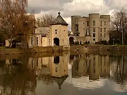 Castle of Ham in Steenokkerzeel | |
 Flag  Coat of arms | |
Location of Steenokkerzeel | |
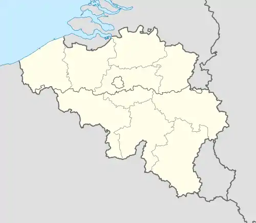 Steenokkerzeel Location in Belgium
Location of Steenokkerzeel in Flemish Brabant 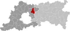 | |
| Coordinates: 50°55′N 04°31′E / 50.917°N 4.517°E | |
| Country | |
| Community | Flemish Community |
| Region | Flemish Region |
| Province | Flemish Brabant |
| Arrondissement | Halle-Vilvoorde |
| Government | |
| • Mayor | Kurt Ryon (KLAVER-NVA) |
| • Governing party/ies | Klaver-N-VA |
| Area | |
| • Total | 23.63 km2 (9.12 sq mi) |
| Population (2018-01-01)[1] | |
| • Total | 12,090 |
| • Density | 510/km2 (1,300/sq mi) |
| Postal codes | 1820 |
| NIS code | 23081 |
| Area codes | 02, 016, 015 |
| Website | www.steenokkerzeel.be |
Steenokkerzeel (Dutch pronunciation: [ˌsteːnˈɔkərzeːl]) is a municipality located in the Belgian province of Flemish Brabant. The municipality comprises the towns of Melsbroek, Perk and Steenokkerzeel proper. On December 31, 2010 Steenokkerzeel had a total population of 11,580. The total area is 23.46 km² which gives a population density of 493 inhabitants per km². (Steenokkerzeel: 6.333 inhabitants, Melbroek 2.508 inhabitants, Perk 2.739 inhabitants.)
Steenokkerzeel consists of the townships of Humelgem, Steenokkerzeel and Wambeek. Perk consists of the townships Perk, Huinhoven and Boekt. 't Dickt, Passiewijk and Zonnebos are the names of residential areas in Steenokkerzeel.
Education
Notable inhabitants
- Aguila (born 1937), artist, industrial designer, and founder of the “probability reality”
- Zita of Bourbon-Parma, the last Empress of Austria, Queen of Hungary, and Queen of Bohemia.
References
- ↑ "Wettelijke Bevolking per gemeente op 1 januari 2018". Statbel. Retrieved 9 March 2019.
External links
 Media related to Steenokkerzeel at Wikimedia Commons
- (in Dutch) Official website
Places adjacent to Steenokkerzeel | ||||||||||||||||
|---|---|---|---|---|---|---|---|---|---|---|---|---|---|---|---|---|
| ||||||||||||||||

This article is issued from Wikipedia. The text is licensed under Creative Commons - Attribution - Sharealike. Additional terms may apply for the media files.