| Stonewall Pond | |
|---|---|
 | |
 Stonewall Pond | |
| Location | Chilmark, Massachusetts |
| Coordinates | 41°19′35″N 70°45′25″W / 41.32639°N 70.75694°W |
| Type | Salt Pond |
| Basin countries | United States |
| Surface area | 30 acres (12 ha)[1] |
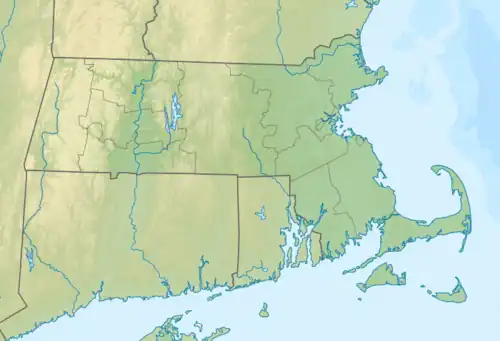
Stonewall Pond is a salt pond in the town of Chilmark, Massachusetts.[2] Stonewall Pond connects to Menemsha Pond via Nashaquitsa Pond.[3][4][5] The beach that separates Stonewall Pond from the Atlantic Ocean is called Stonewall Beach.[6]
Ecosystem
History
Archeological exploration indicates that indigenous peoples of the Wampanoag tribe have inhabited the shores of Stonewall Pond and the neighboring ponds for approximately 10,000 to 7,500 years.[7] In his 1969 book, Archaeology of Martha's Vineyard, William A Ritchie excavated and carbon-dated materials found in the shell middens and living sites around the Vineyard including Stonewall Pond.[8][9]
Storms
It is not uncommon during big storms for the Atlantic Ocean to breach Stonewall Beach and enter the Menemsha Pond ecosystem via Stonewall Pond.[2] In the historic 1938 New England hurricane, the Atlantic Ocean entered the ponds through Stonewall and decimated any buildings near the water, including almost the entire fishing village of Menemsha.[2]
Marine life
In an early 1990s report by the Martha's Vineyard Commission, Stonewall Pond was observed to host shellfish including soft shell clams, scallops, quahogs, blue crabs, and eels.[1] In this same report, the entire acreage of Stonewall Pond is designated an eelgrass resource.[1]
References
- 1 2 3 Martha’s Vineyard Commission. "AMENDED DECISION OF THE MARTHA'S VINEYARD COMMISSION DESIGNATING THE MEMEMSHA, NASHAQUITSA AND STONEWALL PONDS DISTRICT AS A DISTRICT OF CRITICAL PLANNING CONCERN" (PDF).
- 1 2 3 Burns, Cherie (June 2006). The Great Hurricane: 1938. Grove Press. ISBN 978-0-8021-4254-2.
- ↑ "Where Has All the Quitsa Eelgrass Gone? Crabs and Geese May Be to Blame". The Vineyard Gazette - Martha's Vineyard News. Retrieved 2020-05-02.
- ↑ "Chilmark Scallopers Husband Resources". The Vineyard Gazette - Martha's Vineyard News. Retrieved 2020-05-02.
- ↑ "Special Conservation District Declared for Menemsha and Nashaquitsa Ponds". The Vineyard Gazette - Martha's Vineyard News. Retrieved 2020-05-02.
- ↑ "Stonewall's Anomalies". Martha's Vineyard Magazine. 2009-09-01. Retrieved 2020-05-02.
- ↑ Hufstader, Louisa. "Aquinnah Sites Reveal 10,000 Years of Wampanoag History". The Vineyard Gazette.
- ↑ Ritchie, William A. (1969). Archaeology of Martha's Vineyard. NY.
{{cite book}}: CS1 maint: location missing publisher (link) - ↑ "Nashaquitsa Pond". Mapcarta. Retrieved 2020-05-02.