N08 Susukino Station すすきの駅 | |||||||||||
|---|---|---|---|---|---|---|---|---|---|---|---|
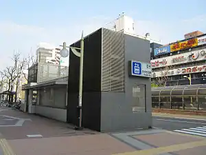
 Station exit 4 | |||||||||||
| General information | |||||||||||
| Location | Chūō-ku, Sapporo, Hokkaido Japan | ||||||||||
| Operated by | Sapporo City Transportation Bureau | ||||||||||
| Line(s) | |||||||||||
| Construction | |||||||||||
| Accessible | Yes | ||||||||||
| Other information | |||||||||||
| Station code | N08 (Namboku Line) SC23 (Streetcar) | ||||||||||
| History | |||||||||||
| Opened | December 16, 1971 (Subway), 1923 (Streetcar) | ||||||||||
| Passengers | |||||||||||
| FY2014 | 16,876 daily[1] | ||||||||||
| Services | |||||||||||
| |||||||||||
| Location | |||||||||||
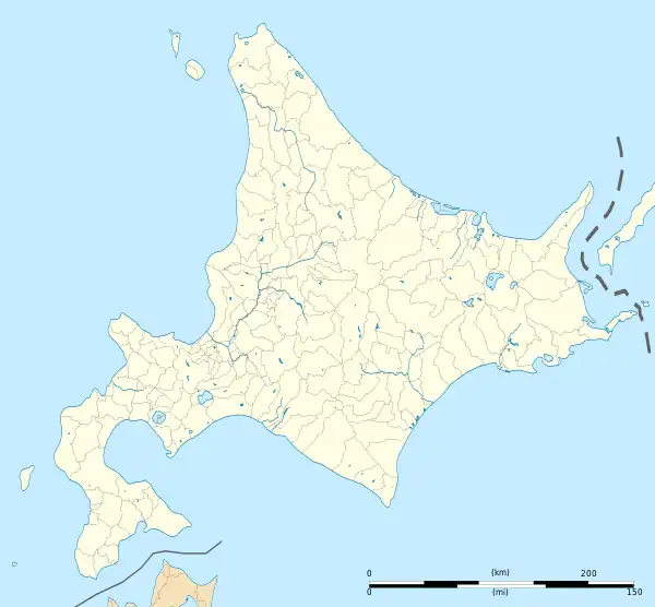
 N08 Susukino Station Location within Hokkaido  N08 Susukino Station N08 Susukino Station (Japan) | |||||||||||
Susukino Station (すすきの駅, Susukino-eki) is a railway station in Chūō-ku, Sapporo, Hokkaido, Japan. The station is numbered "N08".[2] It is located on the Namboku Line and Sapporo Streetcar.
The station is located relatively close to Hōsui-Susukino Station on the Tōhō Line, but there are no free transfers between the two stations.
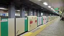
Platforms
| 1 | ■ Namboku Line | for Makomanai |
| 2 | ■ Namboku Line | for Asabu |

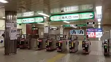
Ticket gates

Station platform
Surrounding area
On the south side of the station is located the largest red-light district north of Tokyo, Susukino, in which are concentrated many restaurants, bars, hotels, and adult-entertainment establishments.
- National Route 36 (to Muroran)
- Sapporo Central Police Station Susukino Police Box
- Minami Sanjo Post Office
- North Pacific Bank, Susukino branch
- Hokkaido Bank, Susukino branch
- Tomakomai Shinkin Bank, Sapporo branch
- Susukino Lafiler mega store
- Underground Shopping Malls (Pole Town & Aurora Town)
- Sapporo Tokyu Inn Hotel
- Sapporo Toho Plaza cinema
- Tanukikoji shopping arcade
- Sapporo Ramen Alley
See also
References
- ↑ "札幌の都市交通データ 4. 地下鉄" (PDF). www.city.sapporo.jp/sogokotsu/kotsutaikei/index.html (in Japanese). City of Sapporo. Retrieved 2016-11-25.
- ↑ "Route Map". City of Sapporo. Retrieved 2016-11-20.
External links
Wikimedia Commons has media related to Susukino Station.
43°3′20.588″N 141°21′11.90″E / 43.05571889°N 141.3533056°E
This article is issued from Wikipedia. The text is licensed under Creative Commons - Attribution - Sharealike. Additional terms may apply for the media files.