| Symmetry Spire | |
|---|---|
 Symmetry Spire at center right and Storm Point center left | |
| Highest point | |
| Elevation | 10,565–10,645 ft (3,220–3,245 m)[1] |
| Prominence | 320[1] |
| Coordinates | 43°46′25″N 110°45′56″W / 43.77361°N 110.76556°W[2] |
| Geography | |
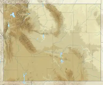
 Symmetry Spire Location in Wyoming  Symmetry Spire Location in the United States | |
| Location | Grand Teton National Park, Teton County, Wyoming, U.S. |
| Parent range | Teton Range |
| Topo map | USGS Mount Moran |
| Climbing | |
| First ascent | Fryxell/Smith 1929 |
| Easiest route | Scramble/Technical class 4 to 5.8 |
Symmetry Spire (10,565–10,645 feet (3,220–3,245 m)) is located in the Teton Range, Grand Teton National Park in the U.S. state of Wyoming.[3] The mountain, first climbed via the east ridge route on August 20, 1929, by Fritiof Fryxell and Phil Smith, towers above the northwest shore of Jenny Lake and Cascade Canyon. The scenic Lake of the Crags, a cirque lake or tarn, is located northwest of the summit and is accessed by way of Hanging Canyon. Popular with mountaineers, the spire has numerous challenging cliffs.[4][5]

Teton Range left to right with the Cathedral Group, Cascade Canyon, Symmetry Spire, Mount Saint John and Rockchuck Peak
References
- 1 2 "Symmetry Spire, Wyoming". Peakbagger.com. Retrieved 2011-05-28.
- ↑ "Symmetry Spire". Geographic Names Information System. United States Geological Survey, United States Department of the Interior. Retrieved 2011-05-28.
- ↑ Mount Moran, WY (Map). TopoQwest (United States Geological Survey Maps). Retrieved 2011-05-28.
- ↑ Ortenburger, Leigh (November 1, 1996). A Climber's Guide to the Teton Range. Mountaineers Books. pp. 304–313. ISBN 978-0-89886-480-9.
- ↑ "Symmetry Spire". SummitPost.org. Retrieved 2011-05-28.
This article is issued from Wikipedia. The text is licensed under Creative Commons - Attribution - Sharealike. Additional terms may apply for the media files.