Ukdungle | |
|---|---|
Military Base | |
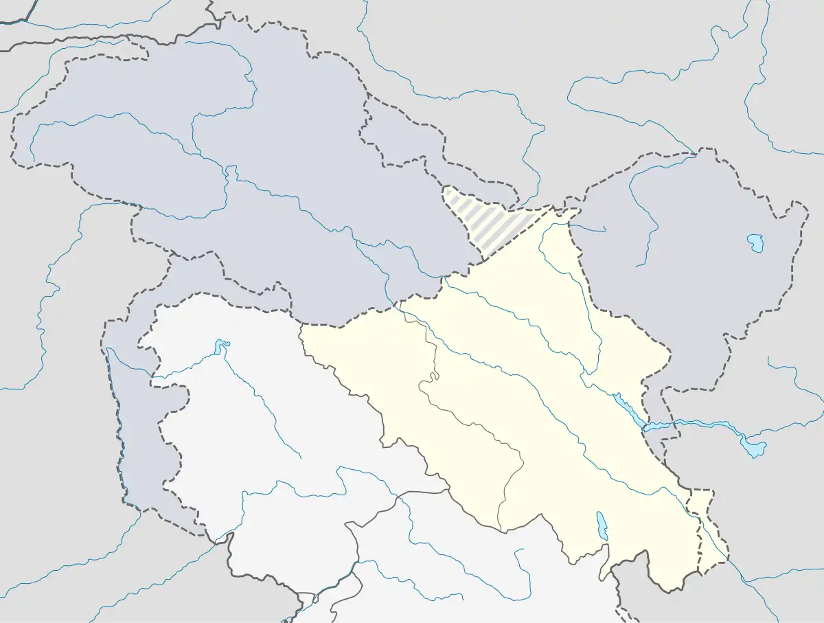 Ukdungle Location in Ladakh, India  Ukdungle Ukdungle (India) | |
| Coordinates: 32°36′05″N 78°57′55″E / 32.60139°N 78.96528°E | |
| Country | |
| Union Territory | Ladakh |
| District | Leh |
| Elevation | 4,667 m (15,312 ft) |
| Languages | |
| • Official | Ladakhi, Urdu |
| Time zone | UTC+5:30 (IST) |
Ukdungle is a small Indian Army military compound entirely contained within a 40 by 70 meter area[1] in Leh district, Ladakh in northern India, 48 km west of Demchok village on the Line of Actual Control with Tibet. Nurbula pass is close to this place.[2]
References
- ↑ IndraStra Global Editorial Team (7 November 2015). "GEOINT-India and China: the Order of the Next War". Retrieved 18 April 2016.
- ↑ "Dare to drive the dangerous Boizardin la".
| State symbols | |||||||||||||||||||
|---|---|---|---|---|---|---|---|---|---|---|---|---|---|---|---|---|---|---|---|
| History |
| ||||||||||||||||||
| Administration | |||||||||||||||||||
| Geography |
| ||||||||||||||||||
| Human settlements | |||||||||||||||||||
| Culture |
| ||||||||||||||||||
| Tourism and wildlife |
| ||||||||||||||||||
| Transport |
| ||||||||||||||||||
| Infrastructure |
| ||||||||||||||||||
| See also |
| ||||||||||||||||||
This article is issued from Wikipedia. The text is licensed under Creative Commons - Attribution - Sharealike. Additional terms may apply for the media files.