Wanla | |
|---|---|
Village | |
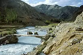 Yapola River in Wanla | |
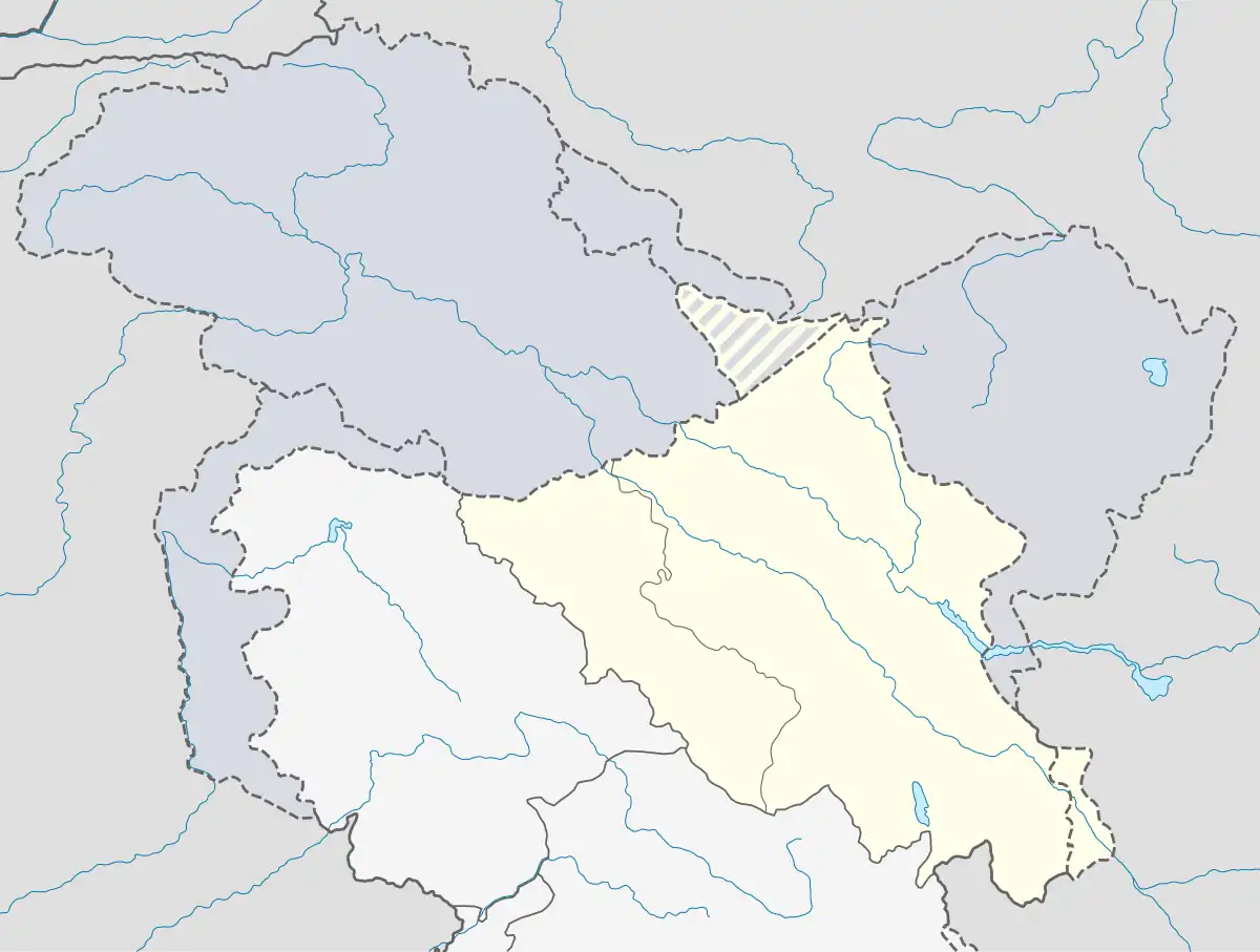 Wanla Location in Ladakh, India  Wanla Wanla (India) | |
| Coordinates: 34°14′56″N 76°49′48″E / 34.2490°N 76.8299°E | |
| Country | India |
| Union Territory | Ladakh |
| District | Leh |
| Tehsil | Khalsi |
| Population (2011) | |
| • Total | 1,015 |
| Time zone | UTC+5:30 (IST) |
| Census code | 954 |
Wanla is a village in the Leh district of Ladakh, India.[1] It is located in the Khalsi tehsil, on the banks of the Yapola River (also known as the Wanla river). The Wanla Monastery is located in this village.
Demographics
According to the 2011 census of India, Wanla has 170 households. The effective literacy rate (i.e. the literacy rate of population excluding children aged 6 and below) is 63.81%.[2]
| Total | Male | Female | |
|---|---|---|---|
| Population | 1015 | 518 | 497 |
| Children aged below 6 years | 106 | 57 | 49 |
| Scheduled caste | 0 | 0 | 0 |
| Scheduled tribe | 1014 | 517 | 497 |
| Literates | 580 | 327 | 253 |
| Workers (all) | 529 | 266 | 263 |
| Main workers (total) | 317 | 248 | 69 |
| Main workers: Cultivators | 196 | 159 | 37 |
| Main workers: Agricultural labourers | 2 | 1 | 1 |
| Main workers: Household industry workers | 2 | 2 | 0 |
| Main workers: Other | 117 | 86 | 31 |
| Marginal workers (total) | 212 | 18 | 194 |
| Marginal workers: Cultivators | 190 | 7 | 183 |
| Marginal workers: Agricultural labourers | 3 | 0 | 3 |
| Marginal workers: Household industry workers | 1 | 0 | 1 |
| Marginal workers: Others | 18 | 11 | 7 |
| Non-workers | 486 | 252 | 234 |
References
- ↑ "Blockwise Village Amenity Directory" (PDF). Ladakh Autonomous Hill Development Council. Retrieved 23 July 2015.
- 1 2 "Leh district census". 2011 Census of India. Directorate of Census Operations. Retrieved 23 July 2015.
| State symbols | |||||||||||||||||||
|---|---|---|---|---|---|---|---|---|---|---|---|---|---|---|---|---|---|---|---|
| History |
| ||||||||||||||||||
| Administration | |||||||||||||||||||
| Geography |
| ||||||||||||||||||
| Human settlements | |||||||||||||||||||
| Culture |
| ||||||||||||||||||
| Tourism and wildlife |
| ||||||||||||||||||
| Transport |
| ||||||||||||||||||
| Infrastructure |
| ||||||||||||||||||
| See also |
| ||||||||||||||||||
This article is issued from Wikipedia. The text is licensed under Creative Commons - Attribution - Sharealike. Additional terms may apply for the media files.