Šaplava | |
|---|---|
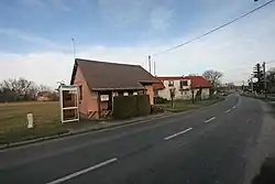 Municipal office and the main street | |
 Flag  Coat of arms | |
 Šaplava Location in the Czech Republic | |
| Coordinates: 50°18′54″N 15°32′31″E / 50.31500°N 15.54194°E | |
| Country | |
| Region | Hradec Králové |
| District | Hradec Králové |
| First mentioned | 1381 |
| Area | |
| • Total | 2.01 km2 (0.78 sq mi) |
| Elevation | 251 m (823 ft) |
| Population (2023-01-01)[1] | |
| • Total | 120 |
| • Density | 60/km2 (150/sq mi) |
| Time zone | UTC+1 (CET) |
| • Summer (DST) | UTC+2 (CEST) |
| Postal code | 503 53 |
| Website | www |
Šaplava is a municipality and village in Hradec Králové District in the Hradec Králové Region of the Czech Republic. It has about 100 inhabitants.
References
Wikimedia Commons has media related to Šaplava.
This article is issued from Wikipedia. The text is licensed under Creative Commons - Attribution - Sharealike. Additional terms may apply for the media files.