Sogamoso Airport | |||||||||||
|---|---|---|---|---|---|---|---|---|---|---|---|
| Summary | |||||||||||
| Airport type | Public | ||||||||||
| Serves | Sogamoso, Colombia | ||||||||||
| Elevation AMSL | 8,155 ft / 2,486 m | ||||||||||
| Coordinates | 5°40′35″N 72°58′12″W / 5.67639°N 72.97000°W | ||||||||||
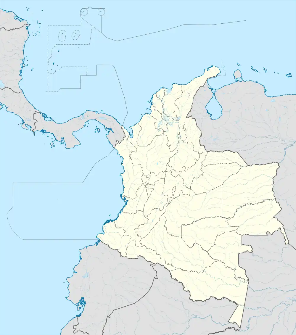
| Map | |||||||||||
 SOX  SOX | |||||||||||
| Runways | |||||||||||
| |||||||||||
Alberto Lleras Camargo Airport (IATA: SOX, ICAO: SKSO) is a high-elevation airport 6 kilometres (3.7 mi) southwest of the city of Sogamoso in the Boyacá Department of Colombia.
The airport and city lie in a broad valley between two north–south ridges of the eastern Colombian Andes mountains. The Sogamoso non-directional beacon (Ident: SOG) is located on the field.[3]
See also
References
- ↑ Airport information for SOX at Great Circle Mapper.
- ↑ Google Maps - Sogamoso
- ↑ SOG NDB
External links
This article is issued from Wikipedia. The text is licensed under Creative Commons - Attribution - Sharealike. Additional terms may apply for the media files.