Avanos District | |
|---|---|
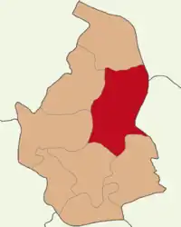 Map showing Avanos District in Nevşehir Province | |
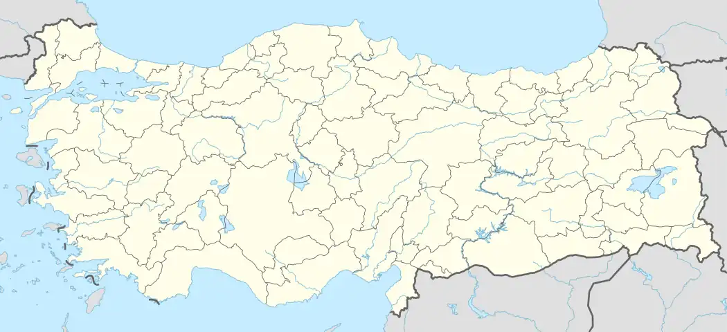 Avanos District Location in Turkey 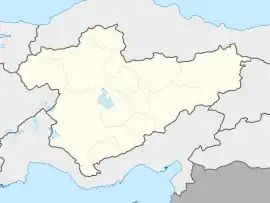 Avanos District Avanos District (Turkey Central Anatolia) | |
| Coordinates: 38°43′N 34°51′E / 38.717°N 34.850°E | |
| Country | Turkey |
| Province | Nevşehir |
| Seat | Avanos |
| Government | |
| • Kaymakam | Olgun Öner |
| Area | 995 km2 (384 sq mi) |
| Population (2022) | 32,477 |
| • Density | 33/km2 (85/sq mi) |
| Time zone | TRT (UTC+3) |
| Website | www |
Avanos District is a district of the Nevşehir Province of Turkey. Its seat is the town of Avanos.[1] Its area is 995 km2,[2] and its population is 32,477 (2022).[3] The highest point is Mt. İsmail Sivrisi at 1,756 m (5,761 ft).
Composition
There are four municipalities in Avanos District:[1][4]
There are 16 villages in Avanos District:[5]
- Akarca
- Aktepe
- Altıpınar
- Ayhan
- Bozca
- Çavuşin
- Göynük
- İğdelikışla
- Karacauşağı
- Küçükayhan
- Kuyulukışla
- Mahmat
- Paşalı
- Sarılar
- Topaklı
- Üçkuyu
References
- 1 2 İlçe Belediyesi, Turkey Civil Administration Departments Inventory. Retrieved 22 May 2023.
- ↑ "İl ve İlçe Yüz ölçümleri". General Directorate of Mapping. Retrieved 22 May 2023.
- ↑ "Address-based population registration system (ADNKS) results dated 31 December 2022, Favorite Reports" (XLS). TÜİK. Retrieved 22 May 2023.
- ↑ Belde Belediyesi, Turkey Civil Administration Departments Inventory. Retrieved 22 May 2023.
- ↑ Köy, Turkey Civil Administration Departments Inventory. Retrieved 22 May 2023.
Avanos District in Nevşehir Province of Turkey | |||||||||||||||||||||||||||
|---|---|---|---|---|---|---|---|---|---|---|---|---|---|---|---|---|---|---|---|---|---|---|---|---|---|---|---|
| Districts | 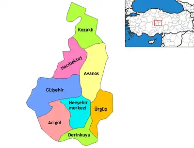 Districts of Nevşehir | ||||||||||||||||||||||||||
| |||||||||||||||||||||||||||
Metropolitan municipalities are bolded. | |||||||||||||||||||||||||||
| Municipalities | |
|---|---|
| Villages |
|
This article is issued from Wikipedia. The text is licensed under Creative Commons - Attribution - Sharealike. Additional terms may apply for the media files.