Bahjani | |
|---|---|
Mouza | |
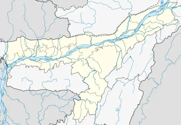
 Bahjani Map of Assam  Bahjani Bahjani (India) | |
| Coordinates: 26°23′16″N 91°25′18″E / 26.387864°N 91.4217502°E | |
| Country | |
| State | Assam |
| District | Nalbari |
| Mouza | Bahjani |
| Population (2011) | |
| • Total | 47,696 |
| Postal code | 781334 |
Bahjani is an urban locality and mouza,[1][2] in Nalbari district, Assam, India. Bahjani includes the Pub Bahjani, Uttar Bahjani, and Dakshin Bahjani areas, with a total of 25 villages.[3] As per the 2001 census the Bahjani locality had a population of 44,472 people.[4] As per the 2011 census the Bahjani locality has a population of 47,696 people.[5]
Bahjani has a vast history related to education,[6] social and agricultural,[7] militancy,[8] agitation,[9] and political.[10]
History
During the British rule in India, Bahjani was a Tehsil.[11][12] During the British Raj several people including Madan Barman and Rawta Koch (both killed in British police firing) from Bahjani area were involved in the Quit India Movement.[13]
Villages under Bahjani
The following is the list of villages under Bahjani mouza.[3]
| Village Name | Gaon Panchayat (GP) Name |
|---|---|
| Alengidal | 7 No Pub Bahjani GP |
| Amayapur | 7 No Pub Bahjani GP |
| Arara | 7 No Pub Bahjani GP |
| Bhadra | 7 No Pub Bahjani GP |
| Mugkuchi | 7 No Pub Bahjani GP |
| Nanda Gaon | 7 No Pub Bahjani GP |
| Tilana | 7 No Pub Bahjani GP |
| Bar-Azara | 8 No Uttar Bahjani GP |
| Chandra Kuchi | 8 No Uttar Bahjani GP |
| Dakhin Bejera | 8 No Uttar Bahjani GP |
| Dokuchi | 8 No Uttar Bahjani GP |
| Janigog | 8 No Uttar Bahjani GP |
| Madan-Mohan Sakhowa | 8 No Uttar Bahjani GP |
| Budru Kuchi | 9 No Madhya Bahjani GP |
| Khudra Sonkara | 9 No Madhya Bahjani GP |
| Niz Bahjani | 9 No Madhya Bahjani GP |
| Charia | 10 No Dakhin Bahjani GP |
| Cherabari | 10 No Dakhin Bahjani GP |
| Deharkalakuchi | 10 No Dakhin Bahjani GP |
| Jaha | 10 No Dakhin Bahjani GP |
| Kumarikata | 10 No Dakhin Bahjani GP |
| Madhapur | 10 No Dakhin Bahjani GP |
| Makal Daba | 10 No Dakhin Bahjani GP |
| Pachimkhatar Kalakuchi | 10 No Dakhin Bahjani GP |
| Pub Kalakuchi | 10 No Dakhin Bahjani GP |
References
- ↑ Great Britain; Parliament; House of Commons (1902). "Sessional Papers". Sessional Papers. 70: 455 – via WorldCat.
- ↑ Commission., India. Election (1967). Delimitation of Parliamentary and Assembly Constituencies Order, 1966. New Delhi. p. 37.
{{cite book}}: CS1 maint: location missing publisher (link) - 1 2 "Block-wise Village List". Government of Assam | Nalbari District. Archived from the original on 1 July 2022. Retrieved 1 July 2022.
- ↑ "Statement showing Detailed list of community hall and location of AP -wise and GP-wise as per populatation [sic], 2001" (PDF). State Finance Commission Cell, Assam. Archived (PDF) from the original on 15 May 2021. Retrieved 1 July 2022.
- ↑ "POPULATION BREAKUP AS PER CENSUS-2011" (PDF). Government of Assam | Nalbari district. Archived from the original (PDF) on 3 July 2022. Retrieved 3 July 2022.
- ↑ Assam (India) (1964). "The Assam Gazette". The Assam Gazette: 468 – via WorldCat.
- ↑ "Socio Economic and Caste Census (SECC)". Socio Economic Caste Census 2011. Archived from the original on 1 July 2022. Retrieved 1 July 2022.
- ↑ Shah, O. P. (1989). "Parlance". Parlance. University of Virginia. 13: 24.
- ↑ Hussain, Imdad (Prof.) (2005). The Guwahati Declaration and the Road to Peace in Assam. New Delhi: Akansha Publishing House. p. 172. ISBN 978-81-87606-94-9.
- ↑ Institute for Conflict Management (New Delhi, India) (1999). "Faultlines". Faultlines. 8–11: 109. ISSN 0972-1290 – via WorldCat.
- ↑ Great Britain; India Office (1902). East India (famine) : Papers Regarding Famine and Relief Operations in India. 1899-1900. Vol. 1–2. London: H.M. Stationery Off. p. 452.
- ↑ House of Commons, Great Britain. Parliament. (1902). Sessional papers. Inventory control record 1. Vol. 70. London: University of California. p. 455.
- ↑ Baruah, Amlan; Roy Choudhury, S. B; Assam (India); Department of District Gazetteers (1999). Assam state gazetteer. Vol. 1. Guwahati: Govt. of Assam. p. 161.