Calumpang
Kalumpang | |
|---|---|
 Calumpang Barangay Hall | |
 Calumpang | |
| Coordinates: 14°37′29.72″N 121°5′11.52″E / 14.6249222°N 121.0865333°E | |
| Country | Philippines |
| Region | National Capital Region |
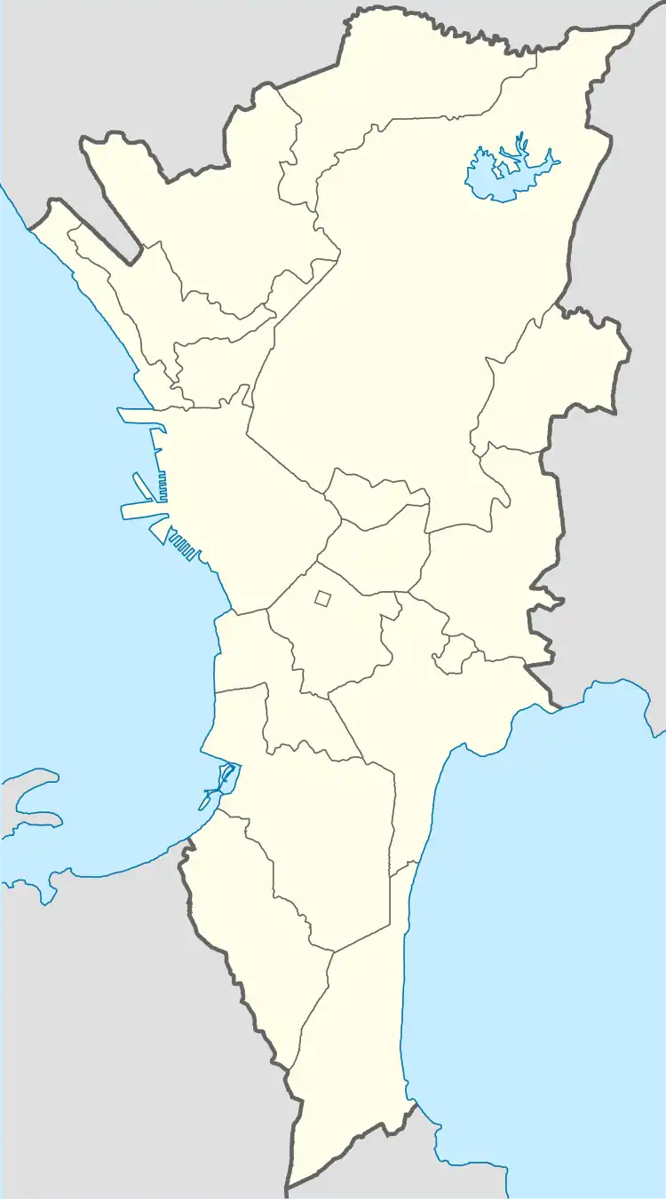
| City | Marikina |
| District | 1st Legislative district of Marikina |
| Government | |
| • Type | Barangay |
| • Barangay Captain | Segundo "Dino" Santos Cruz |
| • Barangay Councilor |
|
| • SK Chairman | Alek Antonio R. Andres |
| Area | |
| • Land | 0.72 km2 (0.28 sq mi) |
| Population (2020) | |
| • Total | 15,602 |
| Time zone | UTC+8 (PST) |
| Postal Code | 1801 |
| Area code | 02 |
Calumpang (Tagalog: Kalumpang) is one of the barangays of Marikina. It is bounded to the north by Barangay Tanong, west by Barangay Barangka, south by Santolan, Pasig and east by Barangay San Roque. It is named after a wild almond, Sterculia foetida.[1]
Place of interest
Community facilities
- Kalumpang Barangay Hall
- Kalumpang Health Center
- Kalumpang Gym
- Kalumpang Multipurpose Hall
- Kalumpang Police Station
- Kalumpang Learning Center
Landmarks and buildings
- SM City Marikina
- Marikina River Park
- Santolan station
- BFCT East Transport Terminal
- Handog Center
Schools
- Kalumpang Elementary School
- Kalumpang National High School
- APEC Schools
- Jesus Flock Academy Foundation, Inc.
- Sta. Clara Academy
- Bright Star Learning Center
Churches
- San Antonio de Padua Parish
- Iglesia ni Cristo
- Ang Dating Daan
Roads and bridges
- Marcos Highway Bridge
- Diosdado Macapagal Bridge (C5-Marcos Highway Bridge)
- Line 2 Bridge
- Marcos Highway
References
- ↑ "Marikina City: The Shoe Capital of the Philippines". www.marikina.gov.ph. Archived from the original on 2019-07-19.
This article is issued from Wikipedia. The text is licensed under Creative Commons - Attribution - Sharealike. Additional terms may apply for the media files.