San Isidro | |
|---|---|
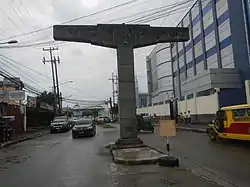 Entrance to United Parañaque Subdivision 5 | |
 San Isidro | |
| Coordinates: 14°28′6.77″N 121°0′42.61″E / 14.4685472°N 121.0118361°E | |
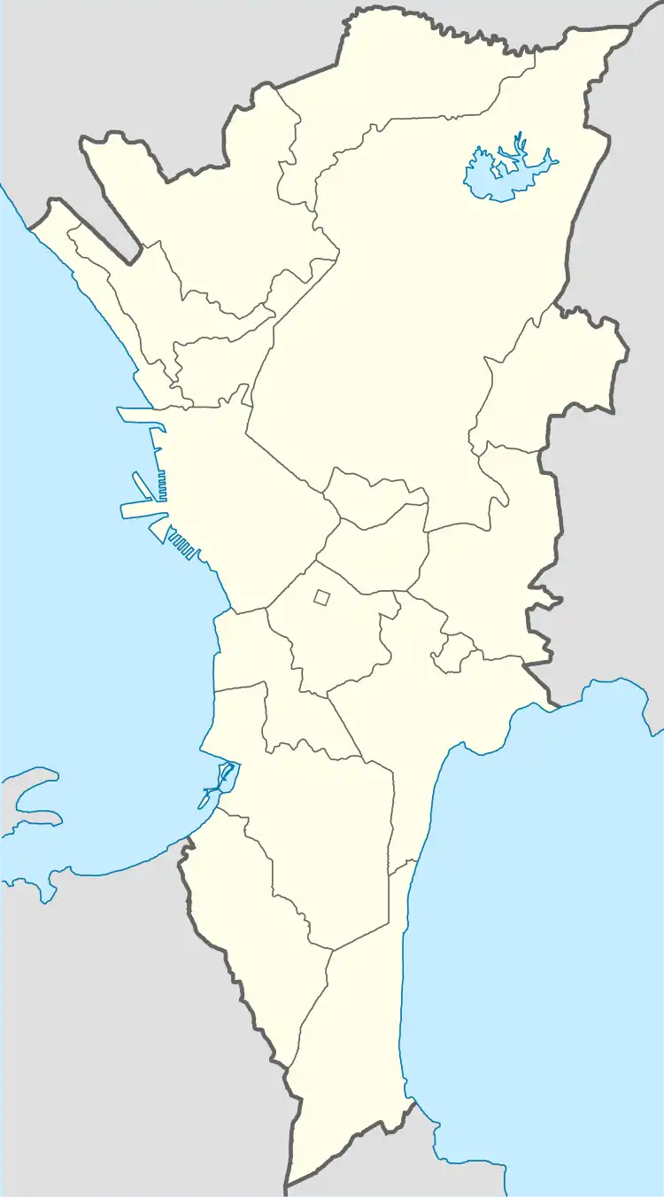
| Country | Philippines |
| Region | National Capital Region |
| City | Parañaque |
| District | Part of the 1st district of Parañaque |
| Established | April 3, 1978 |
| Named for | Isidore the Laborer |
| Government | |
| • Type | Barangay |
| • Barangay Captain | Noel P. Japlos |
| Area | |
| • Total | 3.6522 km2 (1.4101 sq mi) |
| Population (2020)[1] | |
| • Total | 79,372 |
| • Density | 22,000/km2 (56,000/sq mi) |
| Time zone | UTC+8 (PST) |
San Isidro is a barangay in Parañaque, Metro Manila, Philippines with a population of 79,372 as of the 2020 census.[1][2]
History
Barangay San Isidro was established on April 3, 1978 through Presidential Decree No. 1323.[3] The subdivisions of Clarmen Village, Lopez Village, Parañaque Greenheights, Salvador Estate, San Antonio Valley 2, 6, 12, 15, and Villa Mendoza were separated from Barangay San Dionisio to form San Isidro.[2]
Subdivisions
While Barangays are the administrative divisions of the city and are legally part of the addresses of establishments and homes of many residents indicate their Subdivision (village) instead of their Barangay.
See also
References
- 1 2 Census of Population (2020). "National Capital Region (NCR)". Total Population by Province, City, Municipality and Barangay. Philippine Statistics Authority. Retrieved 8 July 2021.
- 1 2 "District I - Barangay San Isidro". Parañaque City Government.
- ↑ Presidential Decree No. 1323 (3 April 1978), Creating Barangay San Isidro in the Municipality of Parañaque, Metro-Manila, retrieved November 25, 2022
This article is issued from Wikipedia. The text is licensed under Creative Commons - Attribution - Sharealike. Additional terms may apply for the media files.