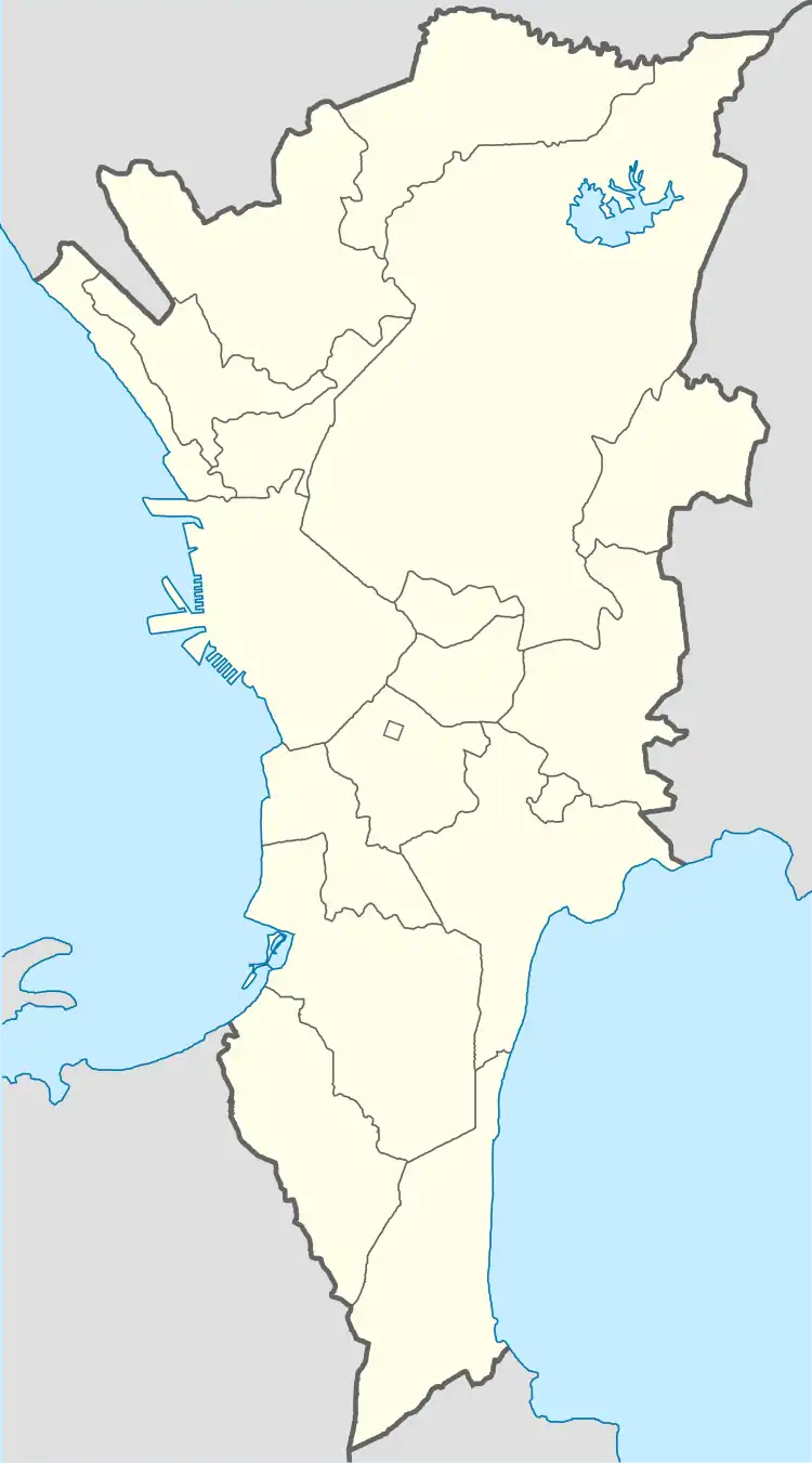
Napindan | |
|---|---|
Dr. A. Natividad Street and Barangay Satellite View Map. | |
 Seal | |
 Napindan | |
| Coordinates: 14°32′23.15″N 121°5′47.60″E / 14.5397639°N 121.0965556°E | |
| Country | Philippines |
| Region | National Capital Region |
| City | Taguig |
| District | 1st Legislative district of Taguig |
| Government | |
| • Type | Barangay |
| • Punong Barangay | Gerome San Pedro |
| Population (2015) | |
| • Total | 19,346[1] |
| Time zone | UTC+8 (PST) |
| Postal Code | 1637 |
| Area code | 02 |
| Website | https://www.facebook.com/barangaynapindantaguig |
Napindan is one of the 38 barangays of Taguig, Metro Manila, Philippines. One of the 18 barangay of Taguig when it becomes a part Metropolitan Manila on November 07, 1975.[2]
Etymology
Napindan is a "Barra" or an island or bar of land on the mouth or opening or a water way like a river or a lake.[3][4] According to the old Spanish maps. It has 3 features. 1st is the Napindan Proper, where the visita de San Pedro is located. 2nd is the Ibayo Napindan. And the islands where the Napindan Parola is located.[5] Napindan was also mentioned by Dr. Jose Rizal in his letter to his grandmother on March 26, 1876.[6]
Geography
Napindan is bounded on the North by Kalawaan, Pasig. Northeast by Rio del Pueblo, Pinagbuhatan, Pasig and Cainta. From the East by Rio del Pueblo, and Taytay. To the South by Laguna de Bay. Then on the West by Ibayo Tipas.[7]
References
- ↑ Total Population by Province, City, Municipality and Barangay: as of May 1, 2010 Archived June 25, 2012, at the Wayback Machine - Philippine Statistics Authority
- ↑ https://lawphil.net/statutes/presdecs/pd1975/pd_824_1975.html
- ↑ https://books.google.com.au/books?redir_esc=y&id=nQn94OHfi0UC&q=taguig#v=onepage&q=napindan&f=false
- ↑ Diccionario Geografico Estadistico Historico Islas Filipinas, Manuel Buzeta, Felipe Bravo, Rector Del Colegio De Valladolid, Madrid 1850, page 354
- ↑ https://www.philstar.com/metro/2013/11/25/1260477/lighthouse-links-taguig-katipunan
- ↑ https://www.scribd.com/document/140555037/Rizal-s-Letters
- ↑ https://bonifacioridge.files.wordpress.com/2013/09/cv-98377-municipality-of-taguig-vs-municipality-of-makati.pdf

