Tuktukan | |
|---|---|
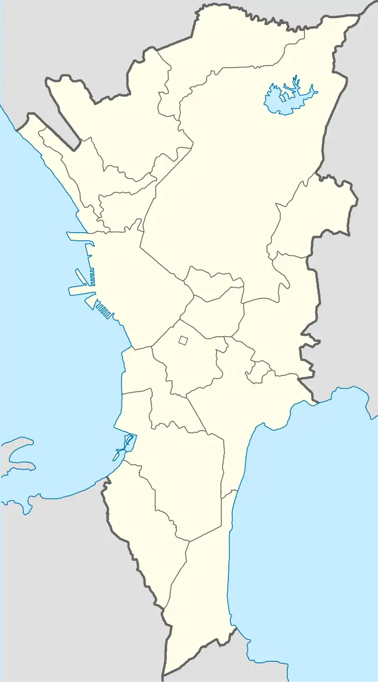
Barangay Hall of Tuktukan and Barangay Satellite View Map. | |
|
Seal | |
 Tuktukan | |
| Coordinates: 14°31′40.95″N 121°4′18.40″E / 14.5280417°N 121.0717778°E | |
| Country | Philippines |
| Region | National Capital Region |
| City | Taguig |
| District | 1st Legislative district of Taguig |
| Government | |
| • Type | Barangay |
| • Punong Barangay | Suranie Ulanday |
| Population (2015) | |
| • Total | 10,730[1] |
| Time zone | UTC+8 (PST) |
| Postal Code | 1637 |
| Area code | 02 |
| Website | https://www.facebook.com/barangay.tuktukan.50 |


Tuktukan is one of the 38 barangays of Taguig, Metro Manila, Philippines. It is the center of the city (Poblacion) where the City Hall of Taguig is located.[2]
Etymology
The word Tuktukan was coined by the Spanish as "Toctocan", which means an object to tap or to hit. When the Friar arrived at the placet, they saw a long queue of women doing their laundry by hitting it with a plank of wood or rock.
History
Based on the census 1980, Tuktukan had a population of 5,777. The total land area of the barangay is 31 hectares (77 acres).[3]
Taguig seat of government was transferred to Tuktukan from Santa Ana on August 01, 1958 after President Carlos P. Garcia signed Executive Order number 311, s. 1958.[4]
Geography
Tuktukan is bounded on the north by Ususan, to the east by Calzada Tipas, to the south by Santa Ana, and on the west by the Taguig River.
References
- ↑ Total Population by Province, City, Municipality and Barangay: as of May 1, 2010 Archived June 25, 2012, at the Wayback Machine - Philippine Statistics Authority
- ↑ "Barangay Tuktukan Taguig". ILoveTaguig. February 11, 2019.
- ↑ A gift of faith, 400 years. Quadricentennial (1587-1987) St. Anne Parish Tagig, Metro Manila; commemorative book page 52, circa 1987.
- ↑ Executive Order No. 311, s. 1958 (1 August 1958), Transferring the Seat of Government of the Municipality of Tagig, Province of Rizal, From Its Present Site at the Barrio of Santa Ana to the Barrio of Tuktukan, Same Municipality