Campo de Mayo Airport | |||||||||||
|---|---|---|---|---|---|---|---|---|---|---|---|
| Summary | |||||||||||
| Airport type | Military | ||||||||||
| Serves | San Miguel, Argentina | ||||||||||
| Elevation AMSL | 78 ft / 24 m | ||||||||||
| Coordinates | 34°32′05″S 58°40′20″W / 34.53472°S 58.67222°W | ||||||||||
| Map | |||||||||||
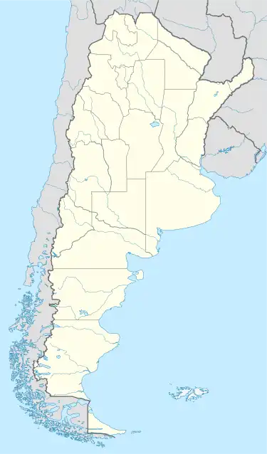
 SADO Location of airport in Argentina | |||||||||||
| Runways | |||||||||||
| |||||||||||
| Helipads | |||||||||||
| |||||||||||
Campo de Mayo Airport (ICAO: SADO) is a military airport located near San Miguel, Buenos Aires, Argentina.
The airport is within a 36 square kilometres (14 sq mi) military reservation surrounded by urban areas in the northwest suburbs of Buenos Aires.[2] Approach and departure will be over densely populated areas. Runway length includes 65 metres (213 ft) paved overruns on both ends.
The El Palomar VOR-DME (Ident: PAL) is located 5.5 nautical miles (10 km) south-southeast of the airport. The El Palomar non-directional beacon (Ident: L) is located 4.0 nautical miles (7 km) to the southeast. The Mariano Mareno VOR-DME (Ident: ENO) is located 6.1 nautical miles (11 km) west-southwest of Campo de Mayo.[4][5][6]
See also
References
- ↑ Airport record for Campo de Mayo Airport at Landings.com. Retrieved 6 August 2013
- 1 2 "Campo de Mayo Airport". Google Maps. Google. Retrieved 21 April 2019.
- ↑ Airport information for Campo de Mayo Airport at Great Circle Mapper.
- ↑ "Mariano Moreno VOR". Our Airports. Retrieved 21 April 2019.
- ↑ "El Palomar NDB". Our Airports. Retrieved 21 April 2019.
- ↑ "El Palomar VOR". Our Airports. Retrieved 21 April 2019.
External links
- OpenStreetMap - Campo de Mayo Airport
- OurAirports - Campo de Mayo Airport
- Accident history for SADO at Aviation Safety Network
This article is issued from Wikipedia. The text is licensed under Creative Commons - Attribution - Sharealike. Additional terms may apply for the media files.