Villa Angela Airport | |||||||||||||||
|---|---|---|---|---|---|---|---|---|---|---|---|---|---|---|---|
| Summary | |||||||||||||||
| Airport type | Public | ||||||||||||||
| Serves | Villa Angela, Argentina | ||||||||||||||
| Elevation AMSL | 246 ft / 75 m | ||||||||||||||
| Coordinates | 27°35′35″S 60°41′10″W / 27.59306°S 60.68611°W | ||||||||||||||
| Map | |||||||||||||||
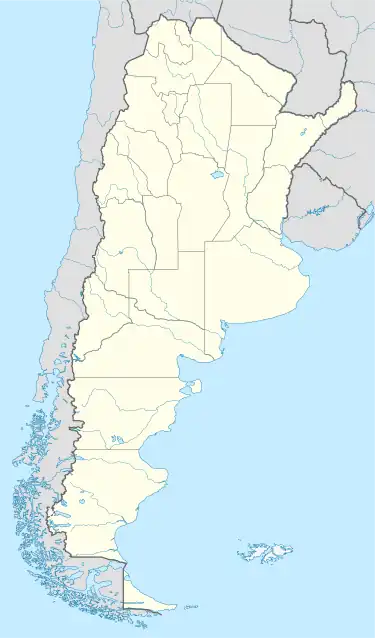
 SARV Location of airport in Argentina | |||||||||||||||
| Runways | |||||||||||||||
| |||||||||||||||
Villa Angela Airport (ICAO: SARV) is a public use airport located just southeast of Villa Angela, a city in the Chaco Province of Argentina.
The Resistencia VOR-DME (Ident: SIS) is located 87.2 nautical miles (161 km) east of the airport.[3]
See also
References
- ↑ Airport record for Villa Angela Airport at Landings.com. Retrieved 6 August 2013
- ↑ "Villa Angela Airport". Google Maps. Retrieved 8 April 2019.
- ↑ "Resistencia VOR". Our Airports. Retrieved 8 April 2019.
External links
- OpenStreetMap - Villa Angela Airport
- Airport information for Villa Angela Airport at Great Circle Mapper.
- Accident history for Villa Angela Airport at Aviation Safety Network
This article is issued from Wikipedia. The text is licensed under Creative Commons - Attribution - Sharealike. Additional terms may apply for the media files.