Las Flores Airport Aerodromo Las Flores | |||||||||||||||
|---|---|---|---|---|---|---|---|---|---|---|---|---|---|---|---|
| Summary | |||||||||||||||
| Airport type | Public | ||||||||||||||
| Serves | Las Flores, Argentina | ||||||||||||||
| Elevation AMSL | 125 ft / 38 m | ||||||||||||||
| Coordinates | 36°04′02″S 59°6′15″W / 36.06722°S 59.10417°W | ||||||||||||||
| Map | |||||||||||||||
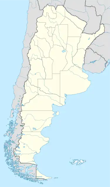
 SAEL Location of airport in Argentina | |||||||||||||||
| Runways | |||||||||||||||
| |||||||||||||||
Las Flores Airport (Spanish: Aerodromo Las Flores, ICAO: SAEL) is a rural airport serving Las Flores, a town in the Buenos Aires Province of Argentina. The airport is 5 kilometres (3 mi) south of the town.
There is a major highway intersection close to the north corner of the airport.[2] Runway 02/20 length includes a 145 metres (476 ft) displaced threshold on Runway 20.
The General Belgrano VOR (Ident: GBE) is located 36.5 nautical miles (68 km) east-northeast of the airport.[4]
See also
References
- ↑ Airport record for Las Flores Airport at Landings.com. Retrieved 2 September 2013
- 1 2 "Las Flores Airport". Google Maps. Google. Retrieved 2 June 2019.
- ↑ "Las Flores Airport". Falling Rain. Retrieved 2 June 2019.
- ↑ "General Belgrano VOR". Our Airports. Retrieved 2 June 2019.
External links
This article is issued from Wikipedia. The text is licensed under Creative Commons - Attribution - Sharealike. Additional terms may apply for the media files.