Champa
ឃុំចំប៉ា | |
|---|---|
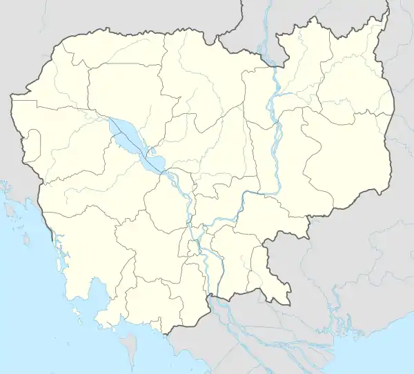
 Champa Location within Cambodia | |
| Coordinates: 11°08′19″N 104°54′24″E / 11.1387°N 104.9068°E | |
| Country | |
| Province | Takéo |
| District | Prey Kabbas |
| Time zone | UTC+7 |
| Geocode | 210603 |
Champa Commune (Khmer: ឃុំចំប៉ា) is a khum (commune) in Prey Kabbas District, Takéo Province, Cambodia.
Administration
As of 2019, Champa Commune has 9 phums (villages) as follows.[1]
| No. | Code | Village | Khmer |
|---|---|---|---|
| 1 | 21060301 | Ponsang | ពន្សាំង |
| 2 | 21060302 | Ruessei Thmei | ឫស្សីថ្មី |
| 3 | 21060303 | Chroy | ជ្រយ |
| 4 | 21060304 | Chumpu Proeks | ជម្ពូព្រឹក្ស |
| 5 | 21060305 | Champa | ចំប៉ា |
| 6 | 21060306 | Samraong | សំរោង |
| 7 | 21060307 | Danghoet | ដង្ហឹត |
| 8 | 21060308 | Chek | ចេក |
| 9 | 21060309 | Roneam Pechr | រនាមពេជ្រ |
References
- ↑ "Cambodia Gazetteer Database Online". Cambodia NCDD Databases. National Committee for Sub-National Democratic Development (NCDD). 2019. Retrieved 2019-08-12.
This article is issued from Wikipedia. The text is licensed under Creative Commons - Attribution - Sharealike. Additional terms may apply for the media files.
