Baray
សង្កាត់បារាយណ៍ | |
|---|---|
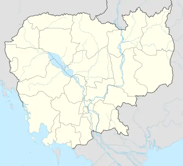
 Baray Location within Cambodia | |
| Coordinates: 11°01′13″N 104°48′15″E / 11.0202°N 104.8042°E | |
| Country | |
| Province | Takéo |
| Municipality | Doun Kaev |
| Time zone | UTC+7 |
| Geocode | 210801 |
Sangkat Baray (Khmer: សង្កាត់បារាយណ៍) is a sangkat (quarter) in Doun Kaev Municipality, Takeo Province, Cambodia.
Administration
As of 2019, Sangkat Baray has 14 phums (villages) as follows.[1]
| No. | Code | Village | Khmer |
|---|---|---|---|
| 1 | 21080101 | Thon Mon Khang Cheung | ធន់មន់ខាងជើង |
| 2 | 21080102 | Thon Mon Khang Tboung | ធន់មន់ខាងត្បូង |
| 3 | 21080103 | Ruessei | ឫស្សី |
| 4 | 21080104 | Chrouy Prakhor | ជ្រោយប្រឃរ |
| 5 | 21080105 | Svay Chrum | ស្វាយជ្រុំ |
| 6 | 21080106 | Doun Peaeng | ដូនពែង |
| 7 | 21080107 | Svay Ruessei | ស្វាយឫស្សី |
| 8 | 21080108 | Khan Khav | ខាន់ខាវ |
| 9 | 21080109 | Trapeang Ruessei | ត្រពាំងឫស្សី |
| 10 | 21080110 | Krachab | ក្រចាប់ |
| 11 | 21080111 | Trapeang Leak | ត្រពាំងលាក់ |
| 12 | 21080112 | Chong Thnal | ចុងថ្នល់ |
| 13 | 21080113 | Kreang Ta Pung | គ្រាំងតាពូង |
| 14 | 21080114 | Chrouy Samraong | ជ្រោយសំរោង |
References
- ↑ "Cambodia Gazetteer Database Online". Cambodia NCDD Databases. National Committee for Sub-National Democratic Development (NCDD). 2019. Retrieved 2019-08-12.
This article is issued from Wikipedia. The text is licensed under Creative Commons - Attribution - Sharealike. Additional terms may apply for the media files.
