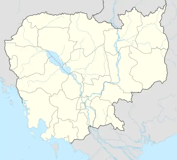
Pech Sar
ឃុំពេជសារ | |
|---|---|
 Pech Sar Location within Cambodia | |
| Coordinates: 10°44′08″N 104°50′30″E / 10.7355°N 104.8418°E | |
| Country | |
| Province | Takéo |
| District | Kaoh Andaet |
| Time zone | UTC+7 |
| Geocode | 210502 |
Pech Sar Commune (Khmer: ឃុំពេជសារ) is a khum (commune) in Kaoh Andaet District, Takéo Province, Cambodia.
Administration
As of 2019, Pech Sar Commune has 17 phums (villages) as follows.[1]
| No. | Code | Village | Khmer |
|---|---|---|---|
| 1 | 21050201 | Ta Buor | តាបួរ |
| 2 | 21050202 | Chontol Mekh | ជន្ទល់មេឃ |
| 3 | 21050203 | Prey Thum | ព្រៃធំ |
| 4 | 21050204 | Damnak | ដំណាក់ |
| 5 | 21050205 | Prey Bay | ព្រៃបាយ |
| 6 | 21050206 | Kouk Doung | គោកដូង |
| 7 | 21050207 | Trapeang Krasang | ត្រពាំងក្រសាំង |
| 8 | 21050208 | Ta Mouk | តាមោក |
| 9 | 21050209 | Pou | ពោធិ |
| 10 | 21050210 | Poun | ពោន |
| 11 | 21050211 | Pech Sar | ពេជសារ |
| 12 | 21050212 | Slaeng | ស្លែង |
| 13 | 21050213 | Sdau | ស្ដៅ |
| 14 | 21050214 | Chong Angkar | ចុងអង្ករ |
| 15 | 21050215 | Angkunh | អង្គុញ |
| 16 | 21050216 | Ta Baos | តាបស |
| 17 | 21050217 | Kouk Khpos | គោកខ្ពស់ |
References
- ↑ "Cambodia Gazetteer Database Online". Cambodia NCDD Databases. National Committee for Sub-National Democratic Development (NCDD). 2019. Retrieved 2019-08-12.
This article is issued from Wikipedia. The text is licensed under Creative Commons - Attribution - Sharealike. Additional terms may apply for the media files.
