Chi Khma
ឃុំជីខ្ | |
|---|---|
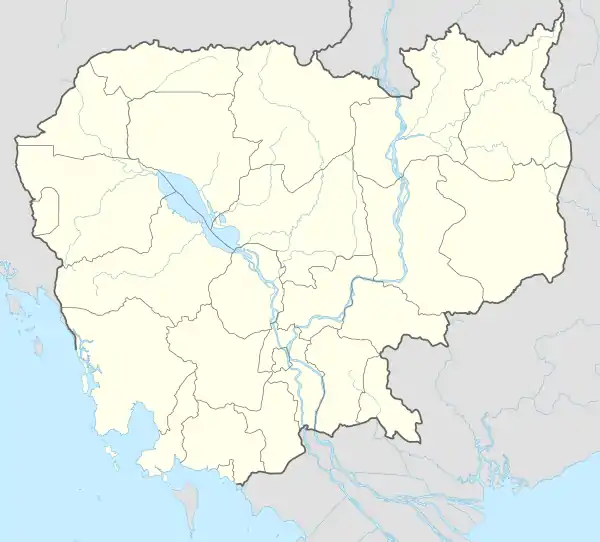
 Chi Khma Location within Cambodia | |
| Coordinates: 10°48′23″N 104°47′58″E / 10.8065°N 104.7994°E | |
| Country | |
| Province | Takéo |
| District | Treang |
| Time zone | UTC+7 |
| Geocode | 211003 |
Chi Khma (Khmer: ឃុំជីខ្មា) is a khum (commune) in Treang District, Takéo Province, Cambodia.
Administration
The commune contains 10 phums (villages) as follows.[1]
| No | Code | Village | Khmer | Note |
| 1 | 21100301 | Thkov | ថ្កូវ | |
| 2 | 21100302 | Chuos | ជួស | |
| 3 | 21100303 | Chhkae Slab | ឆ្កែស្លាប់ | |
| 4 | 21100304 | Andaeng Saing Chvea | អណ្ដែងសាំងជ្វា | |
| 5 | 21100305 | Andaeng Saing Khmer | អណ្ដែងសាំងខ្មែរ | |
| 6 | 21100306 | Chreae | ជ្រែ | |
| 7 | 21100307 | Roka | រកា | |
| 8 | 21100308 | Yul Chek | យុលចេក | |
| 9 | 21100309 | Banteay | បន្ទាយ | |
| 10 | 21100310 | Chi Khma | ជីខ្មា |
References
- ↑ "Cambodia Gazetteer Database Online". Cambodia NCDD Databases. National Committee for Sub-National Democratic Development (NCDD). 2019. Retrieved 2019-08-19.
This article is issued from Wikipedia. The text is licensed under Creative Commons - Attribution - Sharealike. Additional terms may apply for the media files.
