| Charles River Peninsula | |
|---|---|
 The peninsula in April, looking inland. | |
| Location | Needham, Massachusetts, U.S. |
| Coordinates | 42°15′23″N 71°16′0″W / 42.25639°N 71.26667°W |
| Area | 30 acres (12 ha) |
| Owner | Trustees of Reservations |
| Website | Charles River Peninsula |
The Charles River Peninsula is a 30-acre (12 ha) nature preserve in Needham, Massachusetts owned and managed by the Trustees of Reservations. The Charles River turns nearly 180 degrees, creating the peninsula. A 20-acre (8 ha) field on the peninsula was farmed for roughly a century. The original acreage was given in 1960; additional land was given in 1994. [1]
The property includes a loop hiking trail and a boat launch. [2]
Gallery
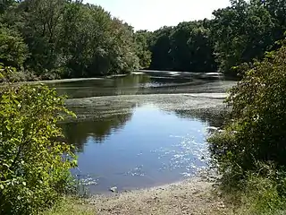 View of the river
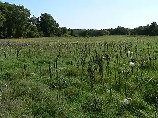 Field of milkweed in the fall
References
- ↑ "Charles River Peninsula". The Trustees of Reservations. Retrieved May 31, 2021.
- ↑ "Charles River Peninsula trail map" (PDF). The Trustees of Reservations. Retrieved May 31, 2021.
| |||||||||||||||||
| |||||||||||||||||
| |||||||||||||||||
| |||||||||||||||||
| |||||||||||||||||
| |||||||||||||||||
| |||||||||||||||||
| |||||||||||||||||
This article is issued from Wikipedia. The text is licensed under Creative Commons - Attribution - Sharealike. Additional terms may apply for the media files.