| Tolland State Forest | |
|---|---|
 Tolland State Forest, August 2007 | |
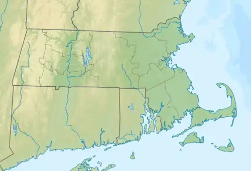
 Location in Massachusetts  Tolland State Forest (the United States) | |
| Location | Massachusetts, United States |
| Coordinates | 42°08′03″N 73°01′46″W / 42.13417°N 73.02944°W[1] |
| Area | 4,415 acres (17.87 km2)[2] |
| Elevation | 1,457 ft (444 m)[1] |
| Established | 1925 |
| Governing body | Massachusetts Department of Conservation and Recreation |
| Website | Tolland State Forest |
Tolland State Forest is a publicly owned forest with recreational features covering 4,415 acres (1,787 ha) in the towns of Otis, Tolland, Blandford and Sandisfield in the southern Berkshire Hills of Massachusetts.[3] The state forest centers on the 1,065-acre (431 ha) Otis Reservoir, the largest body of water for recreational use in western Massachusetts.[4] The forest is managed by the Department of Conservation and Recreation.
History
The state forest was created with the state's purchase of cut-over lumber lands in 1925. A Civilian Conservation Corps camp opened here in 1933. The Corps created the day-use and camping areas on the peninsula that extends into Otis Reservoir.[5] In 1966, the state expanded the forest through the purchase of the reservoir and surrounding lands.[4]
Activities and amenities
Forest trails are available for hiking, mountain biking, off-road vehicles, and cross-country skiing. The campground includes sites for tents and RVs. The day-use area offers swimming, picnicking, and a boat ramp. The reservoir is stocked in spring and fall with trout by the Massachusetts Division of Fisheries & Wildlife.[6] The forest also offers educational programs and restricted hunting.[3]
References
- 1 2 "Tolland State Forest". Geographic Names Information System. United States Geological Survey, United States Department of the Interior.
- ↑ "2012 Acreage Listing" (PDF). Department of Conservation and Recreation. April 2012. Retrieved March 14, 2017.
- 1 2 "Tolland State Forest". MassParks. Executive Office of Energy and Environmental Affairs. Retrieved March 14, 2017.
- 1 2 "Gilmore Trail, Tolland State Forest" (PDF). MassParks. Executive Office of Energy and Environmental Affairs. Retrieved July 24, 2013.
- ↑ "The Civilian Conservation Corps: A Statewide Survey of Civilian Conservation Corps Resources". Prepared by Shary Page Berg (Beth McKinney, ed.) for the Massachusetts Office of Historic Resources. January 1999. pp. 100–101. Retrieved March 14, 2017.
- ↑ "Trout Stocked Waters - Western District". Executive Office of Energy and Environmental Affairs. Retrieved July 24, 2013.
External links
- Tolland State Forest Department of Conservation and Recreation
- Tolland State Forest Trail Map Department of Conservation and Recreation