| Quincy Shore Reservation | |
|---|---|
 | |
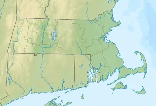
 Location in Massachusetts  Quincy Shore Reservation (the United States) | |
| Location | Quincy, Norfolk, Massachusetts, United States |
| Coordinates | 42°16′50″N 71°01′02″W / 42.28056°N 71.01722°W |
| Area | 87 acres (35 ha)[1] |
| Elevation | 0 ft (0 m)[2] |
| Established | 1899 |
| Operator | Massachusetts Department of Conservation and Recreation |
| Website | Quincy Shore Reservation |
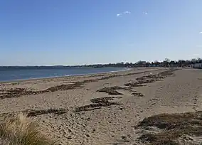
Quincy Shore Reservation is a public recreation area and protected shoreline on Quincy Bay, Boston Harbor, in Quincy, Massachusetts. Its primary attraction is a 2.3-mile-long (3.7 km) beach, accessible along its entire length by Quincy Shore Drive. The largest beach on Boston Harbor, it is known locally as Wollaston Beach, named for the adjacent Wollaston neighborhood.
The reservation is part of the Metropolitan Park System of Greater Boston and was established in 1889.[3] Also included in the reservation are Moswetuset Hummock, site of the first encounter of Plymouth Colony commander Myles Standish with the local native sachem, or leader, Chickatawbut in 1621 and cited as a source for the name of Massachusetts; and Caddy Park, a preserved salt marsh with nearby picnic facilities.[4]
References
- ↑ "2012 Acreage Listing" (PDF). Department of Conservation and Recreation. April 2012. Retrieved February 24, 2017.
- ↑ "Wollaston Beach". Geographic Names Information System. United States Geological Survey, United States Department of the Interior.
- ↑ "About FWB". Friends of Wollaston Beach. Retrieved February 24, 2017.
- ↑ "Quincy Shore Reservation". MassParks. Executive Office of Energy and Environmental Affairs, Department of Conservation and Recreation. Retrieved August 22, 2013.
External links
- Quincy Shore Reservation Department of Conservation and Recreation