| Pearl Hill State Park | |
|---|---|
 Pearl Hill State Park | |
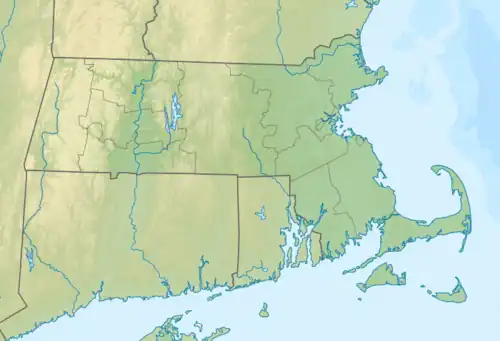
 Location in Massachusetts Show map of Massachusetts Pearl Hill State Park (the United States) Show map of the United States | |
| Location | Townsend, Middlesex, Massachusetts, United States |
| Coordinates | 42°39′19″N 71°45′37″W / 42.65528°N 71.76028°W / 42.65528; -71.76028[1] |
| Area | 1,000 acres (4.0 km2)[2] |
| Elevation | 413 ft (126 m)[1] |
| Established | Unspecified |
| Operator | Massachusetts Department of Conservation and Recreation |
| Website | Pearl Hill State Park |
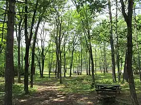
Pearl Hill State Park is a 1,000-acre (400 ha) Massachusetts state park located in the town of Townsend about 50 miles (80 km) from Boston. The park lies adjacent to Willard Brook State Forest and is managed by the Department of Conservation and Recreation (DCR).
Activities and amenities
- Trails are used for hiking, mountain biking, cross-country skiing, and snowmobiling tether ball. A somewhat challenging 4-mile (6.4 km) trail connects to Willard Brook State Forest.
- There are 51 campsites with a modern bathhouse.
- A day-use area includes a 5-acre (2.0 ha) pond with a beach area.
- The park also offers picnicking, fishing, and interpretive programs.
References
- 1 2 "Pearl Hill State Park". Geographic Names Information System. United States Geological Survey, United States Department of the Interior.
- ↑ "Pearl Hill State Park". MassParks. Executive Office of Energy and Environmental Affairs. Retrieved January 25, 2014.
External links
- Pearl Hill State Park Department of Conservation and Recreation
- Willard Brook State Forest Map Department of Conservation and Recreation
| |||||||||||||||||
| |||||||||||||||||
| |||||||||||||||||
| |||||||||||||||||
| |||||||||||||||||
| |||||||||||||||||
| |||||||||||||||||
| |||||||||||||||||
This article is issued from Wikipedia. The text is licensed under Creative Commons - Attribution - Sharealike. Additional terms may apply for the media files.