Croce | |
|---|---|
 Bell tower | |
Location of Croce | |
 Croce 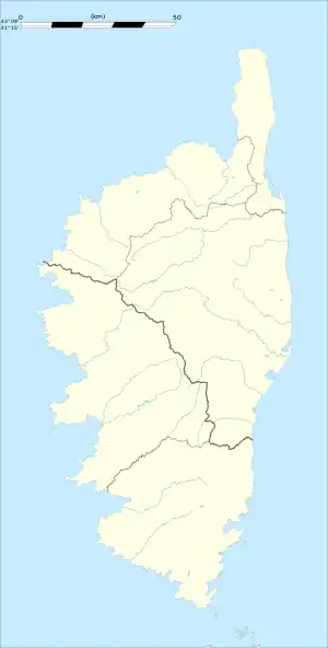 Croce | |
| Coordinates: 42°24′51″N 9°21′43″E / 42.4142°N 9.3619°E | |
| Country | France |
| Region | Corsica |
| Department | Haute-Corse |
| Arrondissement | Corte |
| Canton | Casinca-Fumalto |
| Government | |
| • Mayor (2020–2026) | Jean-François Mattei[1] |
| Area 1 | 6.43 km2 (2.48 sq mi) |
| Population | 80 |
| • Density | 12/km2 (32/sq mi) |
| Time zone | UTC+01:00 (CET) |
| • Summer (DST) | UTC+02:00 (CEST) |
| INSEE/Postal code | 2B101 /20140 |
| Elevation | 259–1,655 m (850–5,430 ft) (avg. 800 m or 2,600 ft) |
| 1 French Land Register data, which excludes lakes, ponds, glaciers > 1 km2 (0.386 sq mi or 247 acres) and river estuaries. | |
Croce is a commune in the Haute-Corse department of France on the island of Corsica.
Population
| Year | Pop. | ±% |
|---|---|---|
| 1962 | 103 | — |
| 1968 | 106 | +2.9% |
| 1975 | 97 | −8.5% |
| 1982 | 100 | +3.1% |
| 1990 | 78 | −22.0% |
| 1999 | 85 | +9.0% |
| 2008 | 82 | −3.5% |
See also
References
- ↑ "Répertoire national des élus: les maires". data.gouv.fr, Plateforme ouverte des données publiques françaises (in French). 2 December 2020.
- ↑ "Populations légales 2020". The National Institute of Statistics and Economic Studies. 29 December 2022.
Wikimedia Commons has media related to Croce (Haute-Corse).
This article is issued from Wikipedia. The text is licensed under Creative Commons - Attribution - Sharealike. Additional terms may apply for the media files.