Scata | |
|---|---|
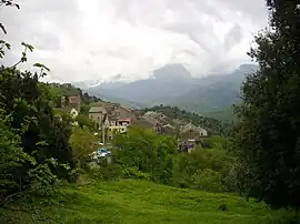 A general view of the village of Scata | |
Location of Scata | |
 Scata 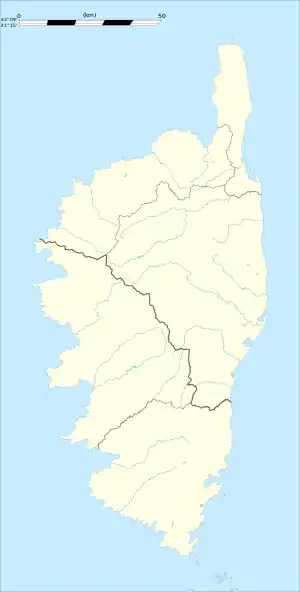 Scata | |
| Coordinates: 42°25′02″N 9°24′07″E / 42.4172°N 9.4019°E | |
| Country | France |
| Region | Corsica |
| Department | Haute-Corse |
| Arrondissement | Corte |
| Canton | Casinca-Fumalto |
| Government | |
| • Mayor (2020–2026) | Joseph Pastini[1] |
| Area 1 | 2.8 km2 (1.1 sq mi) |
| Population | 42 |
| • Density | 15/km2 (39/sq mi) |
| Time zone | UTC+01:00 (CET) |
| • Summer (DST) | UTC+02:00 (CEST) |
| INSEE/Postal code | 2B273 /20213 |
| Elevation | 160–640 m (520–2,100 ft) (avg. 250 m or 820 ft) |
| 1 French Land Register data, which excludes lakes, ponds, glaciers > 1 km2 (0.386 sq mi or 247 acres) and river estuaries. | |
Scata (French pronunciation: [skata]) is a commune in the Haute-Corse department of France on the island of Corsica.
Population
| Year | Pop. | ±% p.a. |
|---|---|---|
| 1968 | 116 | — |
| 1975 | 59 | −9.21% |
| 1982 | 45 | −3.80% |
| 1990 | 32 | −4.17% |
| 1999 | 44 | +3.60% |
| 2009 | 41 | −0.70% |
| 2014 | 48 | +3.20% |
| 2020 | 43 | −1.82% |
| Source: INSEE[3] | ||
See also
References
- ↑ "Répertoire national des élus: les maires". data.gouv.fr, Plateforme ouverte des données publiques françaises (in French). 2 December 2020.
- ↑ "Populations légales 2021". The National Institute of Statistics and Economic Studies. 28 December 2023.
- ↑ Population en historique depuis 1968, INSEE
Wikimedia Commons has media related to Scata.
This article is issued from Wikipedia. The text is licensed under Creative Commons - Attribution - Sharealike. Additional terms may apply for the media files.