Doğankent District | |
|---|---|
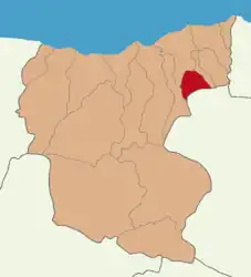 Map showing Doğankent District in Giresun Province | |
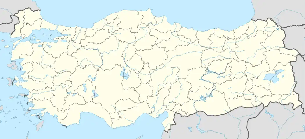 Doğankent District Location in Turkey | |
| Coordinates: 40°48′N 38°55′E / 40.800°N 38.917°E | |
| Country | Turkey |
| Province | Giresun |
| Seat | Doğankent |
| Government | |
| • Kaymakam | Mustafa Mücahit Ayan |
| Area | 110 km2 (40 sq mi) |
| Population (2022) | 6,715 |
| • Density | 61/km2 (160/sq mi) |
| Time zone | TRT (UTC+3) |
| Website | www |
Doğankent District is a district of the Giresun Province of Turkey. Its seat is the town of Doğankent.[1] Its area is 110 km2,[2] and its population is 6,715 (2022).[3]
Composition
There is one municipality in Doğankent District:[1]
There are 9 villages in Doğankent District:[4]
- Çatak
- Çatalağaç
- Doymuş
- Güdül
- Güvenlik
- Kozköy
- Oyraca
- Söğütağzı
- Yeniköy
References
- 1 2 İlçe Belediyesi, Turkey Civil Administration Departments Inventory. Retrieved 1 March 2023.
- ↑ "İl ve İlçe Yüz ölçümleri". General Directorate of Mapping. Retrieved 1 March 2023.
- ↑ "Address-based population registration system (ADNKS) results dated 31 December 2022, Favorite Reports" (XLS). TÜİK. Retrieved 13 March 2023.
- ↑ Köy, Turkey Civil Administration Departments Inventory. Retrieved 1 March 2023.
Doğankent District in Giresun Province of Turkey | |||||||||||||||||||||||||||
|---|---|---|---|---|---|---|---|---|---|---|---|---|---|---|---|---|---|---|---|---|---|---|---|---|---|---|---|
| Districts | 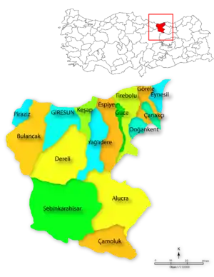 Districts of Giresun | ||||||||||||||||||||||||||
| |||||||||||||||||||||||||||
Metropolitan municipalities are bolded. | |||||||||||||||||||||||||||
This article is issued from Wikipedia. The text is licensed under Creative Commons - Attribution - Sharealike. Additional terms may apply for the media files.