Doğanyurt District | |
|---|---|
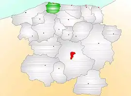 Map showing Doğanyurt District (green) in Kastamonu Province | |
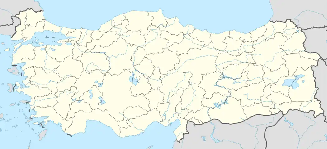 Doğanyurt District Location in Turkey | |
| Coordinates: 42°00′N 33°27′E / 42.000°N 33.450°E | |
| Country | Turkey |
| Province | Kastamonu |
| Seat | Doğanyurt |
| Government | |
| • Kaymakam | Muhammed Cezmi Kandemir |
| Area | 193 km2 (75 sq mi) |
| Population (2021) | 5,428 |
| • Density | 28/km2 (73/sq mi) |
| Time zone | TRT (UTC+3) |
| Website | www |
Doğanyurt District is a district of the Kastamonu Province of Turkey. Its seat is the town of Doğanyurt.[1] Its area is 193 km2,[2] and its population is 5,428 (2021).[3]
Composition
There is one municipality in Doğanyurt District:[1]
There are 25 villages in Doğanyurt District:[4]
- Akçabel
- Aşağımescit
- Baldıran
- Başköy
- Belyaka
- Boğazcık
- Çakırlı
- Danışman
- Demirci
- Denizbükü
- Denizgörülen
- Düz
- Düzağaç
- Gökçe
- Gözalan
- Gürmüdü
- Haskavak
- Kayran
- Köfünambarı
- Küçüktepe
- Ortaburun
- Şirin
- Taşlıpınar
- Yassıkışla
- Yukarımescit
References
- 1 2 İlçe Belediyesi, Turkey Civil Administration Departments Inventory. Retrieved 1 March 2023.
- ↑ "İl ve İlçe Yüz ölçümleri". General Directorate of Mapping. Retrieved 1 March 2023.
- ↑ "Address-based population registration system (ADNKS) results dated 31 December 2021" (XLS) (in Turkish). TÜİK. Retrieved 1 March 2023.
- ↑ Köy, Turkey Civil Administration Departments Inventory. Retrieved 1 March 2023.
Doğanyurt District in Kastamonu Province of Turkey | |||||||||||||||||||||||||||
|---|---|---|---|---|---|---|---|---|---|---|---|---|---|---|---|---|---|---|---|---|---|---|---|---|---|---|---|
| Districts | 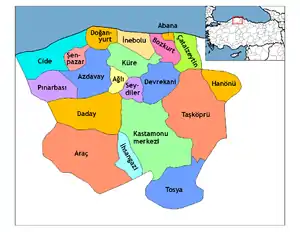 Districts of Kastamonu | ||||||||||||||||||||||||||
| |||||||||||||||||||||||||||
Metropolitan municipalities are bolded. | |||||||||||||||||||||||||||
| Municipalities | |
|---|---|
| Villages |
|
This article is issued from Wikipedia. The text is licensed under Creative Commons - Attribution - Sharealike. Additional terms may apply for the media files.