Faimes
| |
|---|---|
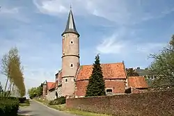 Les Waleffes, the castle (18th century) | |
 Coat of arms | |
Location of Faimes | |
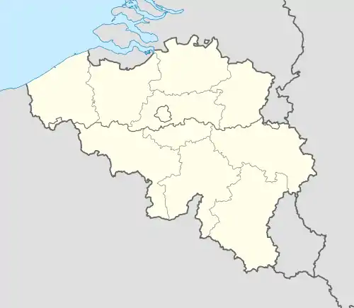 Faimes Location in Belgium
Location of Faimes in the province of Liège 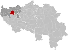 | |
| Coordinates: 50°40′N 05°16′E / 50.667°N 5.267°E | |
| Country | |
| Community | French Community |
| Region | Wallonia |
| Province | Liège |
| Arrondissement | Waremme |
| Government | |
| • Mayor | Etienne Cartuyvels (MR) |
| • Governing party/ies | Équipe de Faimes (EDF) |
| Area | |
| • Total | 28.53 km2 (11.02 sq mi) |
| Population (2018-01-01)[1] | |
| • Total | 3,947 |
| • Density | 140/km2 (360/sq mi) |
| Postal codes | 4317 |
| NIS code | 64076 |
| Area codes | 019 |
| Website | www.faimes.be |
Faimes (French pronunciation: [fɛm]; Walloon: Faime) is a municipality of Wallonia located in the province of Liège, Belgium.
On January 1, 2006, Faimes had a total population of 3,468. The total area is 28.48 km2 (11.00 sq mi) which gives a population density of 122 inhabitants per km².
The municipality consists of the following districts: Aineffe, Borlez, Celles, Les Waleffes, and Viemme. The eponymous Faimes is a hamlet within Celles.
Image gallery
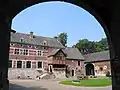 Les Waleffes, the Saint-Pierre farm (1644)
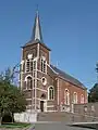 Viemme, church
See also
References
- ↑ "Wettelijke Bevolking per gemeente op 1 januari 2018". Statbel. Retrieved 9 March 2019.
External links
 Media related to Faimes at Wikimedia Commons
Municipalities in the province of Liège, Wallonia | ||
|---|---|---|
| Huy |  | |
| Liège | ||
| Verviers | ||
| Waremme | ||
| ||
This article is issued from Wikipedia. The text is licensed under Creative Commons - Attribution - Sharealike. Additional terms may apply for the media files.