Fléron | |
|---|---|
 | |
 Flag  Coat of arms | |
Location of Fléron | |
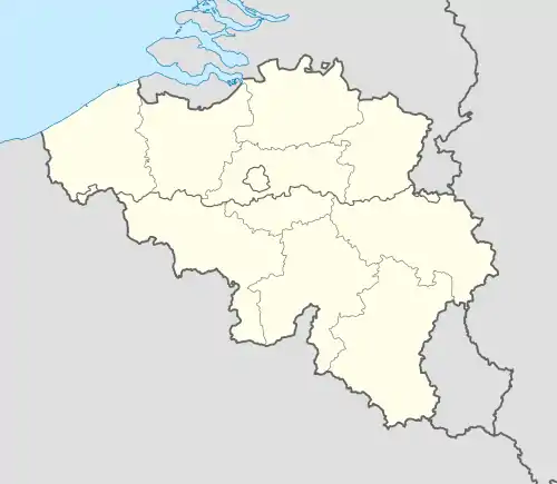 Fléron Location in Belgium
Location of Fléron in Liège province 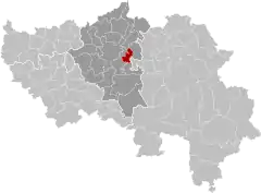 | |
| Coordinates: 50°37′N 05°41′E / 50.617°N 5.683°E | |
| Country | |
| Community | French Community |
| Region | Wallonia |
| Province | Liège |
| Arrondissement | Liège |
| Government | |
| • Mayor | Thierry Ancion (IC) |
| • Governing party/ies | IC |
| Area | |
| • Total | 13.68 km2 (5.28 sq mi) |
| Population (2018-01-01)[1] | |
| • Total | 16,495 |
| • Density | 1,200/km2 (3,100/sq mi) |
| Postal codes | 4620-4624 |
| NIS code | 62038 |
| Area codes | 04 |
| Website | www.fleron.be |
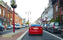
Fléron (French pronunciation: [fleʁɔ̃] ⓘ; Walloon: Fléron) is a municipality of Wallonia located in the province of Liège, Belgium.
On January 1, 2006, Fléron had a total population of 16,088. The total area is 13.72 km2 (5 sq mi) which gives a population density of 1,172 inhabitants per km². Fléron is east of the city of Liège.
The municipality consists of the following districts: Fléron, Magnée, Retinne, and Romsée.
The reminders of Fort de Fléron are in the center of the village of Fléron.
Image gallery
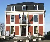 Fléron town hall
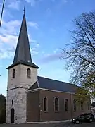 Fléron St. Denis
 Fort de Fléron
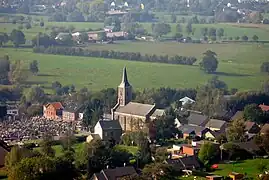 Retinne
See also
References
- ↑ "Wettelijke Bevolking per gemeente op 1 januari 2018". Statbel. Retrieved 9 March 2019.
External links
 Media related to Fléron at Wikimedia Commons
Places adjacent to Fléron | ||||||||||||||||
|---|---|---|---|---|---|---|---|---|---|---|---|---|---|---|---|---|
| ||||||||||||||||
Municipalities in the province of Liège, Wallonia | ||
|---|---|---|
| Huy |  | |
| Liège | ||
| Verviers | ||
| Waremme | ||
| ||
This article is issued from Wikipedia. The text is licensed under Creative Commons - Attribution - Sharealike. Additional terms may apply for the media files.