Remicourt
| |
|---|---|
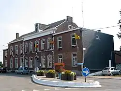 Remicourt town hall | |
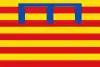 Flag  Coat of arms | |
Location of Remicourt | |
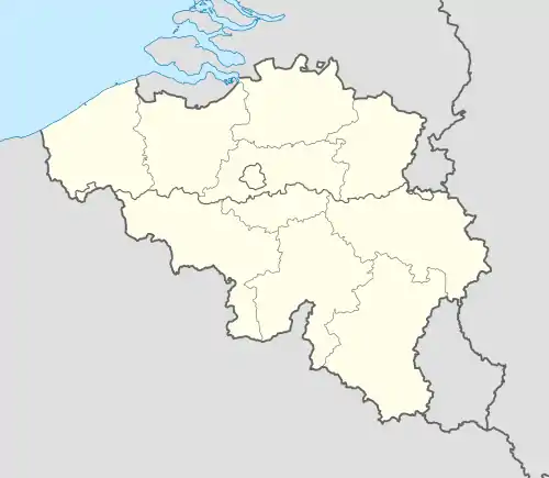 Remicourt Location in Belgium
Location of Remicourt in the province of Liège 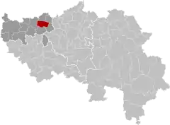 | |
| Coordinates: 50°41′N 05°20′E / 50.683°N 5.333°E | |
| Country | |
| Community | French Community |
| Region | Wallonia |
| Province | Liège |
| Arrondissement | Waremme |
| Government | |
| • Mayor | Thierry Missaire |
| • Governing party/ies | R-Renouveau - Pour Remicourt Solidaire |
| Area | |
| • Total | 22.83 km2 (8.81 sq mi) |
| Population (2018-01-01)[1] | |
| • Total | 5,904 |
| • Density | 260/km2 (670/sq mi) |
| Postal codes | 4350, 4351 |
| NIS code | 64063 |
| Area codes | 019 |
| Website | www.remicourt.be |
Remicourt (French pronunciation: [ʁəmikuʁ] ⓘ; Walloon: Remicoû) is a municipality of Wallonia located in the province of Liège, Belgium.
On January 1, 2006, Remicourt had a total population of 5,012. The total area is 22.58 km2 which gives a population density of 222 inhabitants per km2.
The municipality consists of the following districts: Hodeige, Lamine, Momalle, Pousset, and Remicourt.
See also
References
- ↑ "Wettelijke Bevolking per gemeente op 1 januari 2018". Statbel. Retrieved 9 March 2019.
External links
 Media related to Remicourt at Wikimedia Commons
Places adjacent to Remicourt, Belgium | ||||||||||||||||
|---|---|---|---|---|---|---|---|---|---|---|---|---|---|---|---|---|
| ||||||||||||||||
Municipalities in the province of Liège, Wallonia | ||
|---|---|---|
| Huy |  | |
| Liège | ||
| Verviers | ||
| Waremme | ||
| ||
This article is issued from Wikipedia. The text is licensed under Creative Commons - Attribution - Sharealike. Additional terms may apply for the media files.