Hacaritama Airport | |||||||||||
|---|---|---|---|---|---|---|---|---|---|---|---|
 | |||||||||||
| Summary | |||||||||||
| Airport type | Public | ||||||||||
| Serves | Aguachica | ||||||||||
| Elevation AMSL | 545 ft / 166 m | ||||||||||
| Coordinates | 8°14′50″N 73°34′55″W / 8.24722°N 73.58194°W | ||||||||||
| Map | |||||||||||
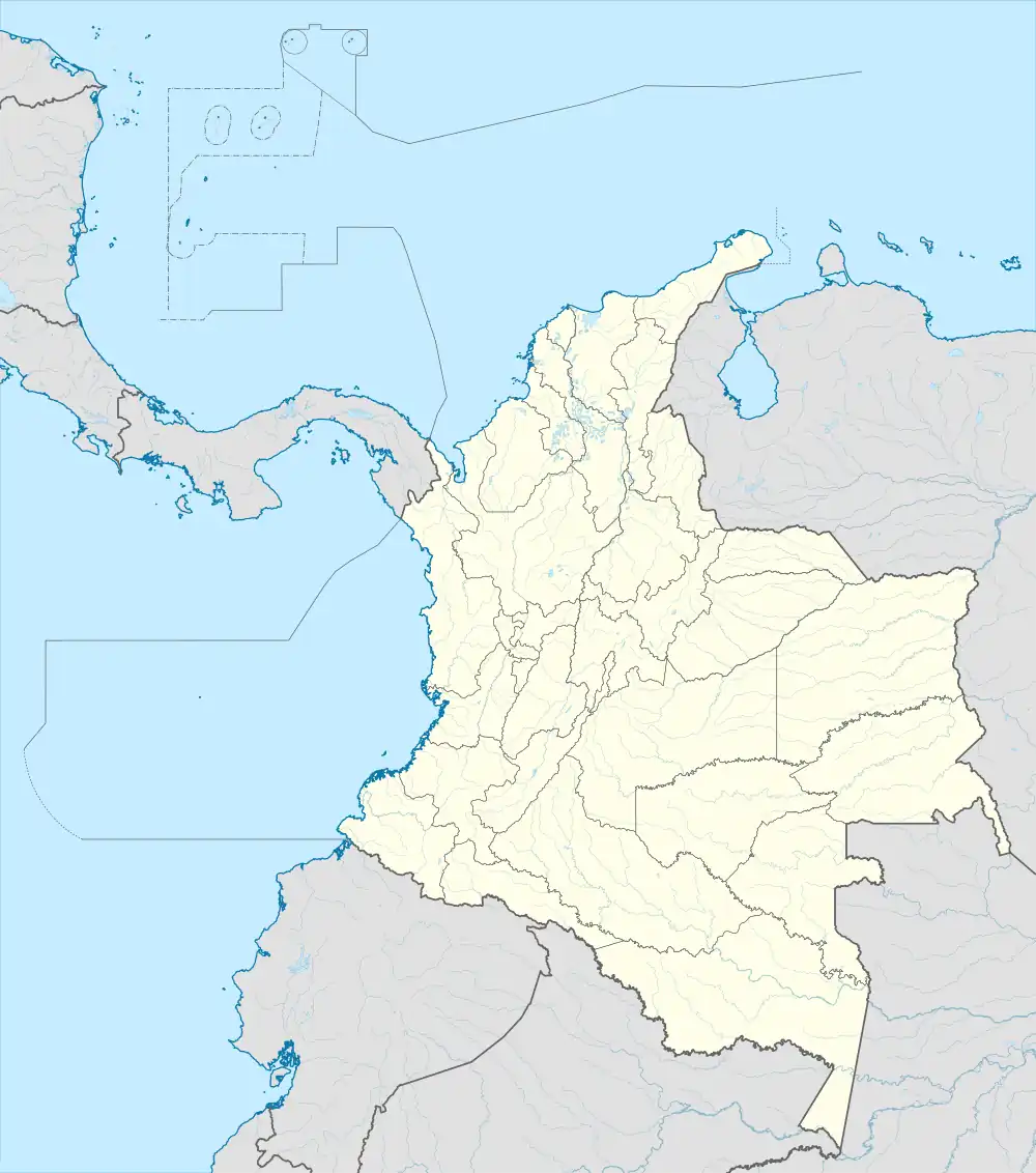 HAY Location of the airport in Colombia | |||||||||||
| Runways | |||||||||||
| |||||||||||
Hacaritama Airport (IATA: HAY, ICAO: SKAG) is an airport serving the city of Aguachica in Cesar Department, Colombia. The airport is 7 kilometres (4.3 mi) south of the city.
Airlines and destinations
| Airlines | Destinations |
|---|---|
| SATENA | Bogota |
See also
References
- ↑ Airport information for SKAG at Great Circle Mapper.
- ↑ Google Maps - Hacaritama
External links
- HERE Maps - Hacaritama
- OpenStreetMap - Hacaritama
- OurAirports - Hacaritama
- Accident history for Aguachica-Aguachica Airport at Aviation Safety Network
This article is issued from Wikipedia. The text is licensed under Creative Commons - Attribution - Sharealike. Additional terms may apply for the media files.