Jarikaba | |
|---|---|
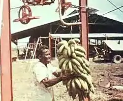
 Banana harvest in Jarikaba | |
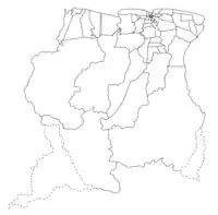
 Map showing the resorts of Saramacca District. Jarikaba | |
| Coordinates: 5°49′16″N 55°19′49″W / 5.82111°N 55.33028°W | |
| Country | |
| District | Saramacca District |
| Area | |
| • Total | 127 km2 (49 sq mi) |
| Population (2012)[1] | |
| • Total | 5,963 |
| • Density | 47/km2 (120/sq mi) |
| Time zone | UTC-3 (AST) |
Jarikaba is a resort in Suriname, located in the Saramacca District. Its population at the 2012 census was 5,963.[1] Bananas form the backbone of the economy. Food And Agriculture Industries, the main employer, has 1,200 hectares (3,000 acres) under cultivation, and a workforce of more than 1,000 people.[2] Food And Agriculture Industries used export only to Europe, but as of 2018 supplies much of the Caribbean.[3]
The Jarikaba Airstrip is located near Jarikaba.[4]
References
- 1 2 "Resorts in Suriname Census 2012" (PDF). Retrieved 26 May 2020.
- ↑ "Bananenproductie Jarikaba komt op gang". GFC Nieuws (in Dutch). Retrieved 27 May 2020.
- ↑ "Jarikaba in de bloei". De Boodschap.today. Retrieved 27 May 2020.
- ↑ "Jarikaba Airstrip Airport". Airport Guide. Retrieved 4 January 2022.
This article is issued from Wikipedia. The text is licensed under Creative Commons - Attribution - Sharealike. Additional terms may apply for the media files.
