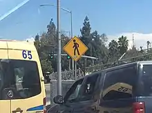
The road signs used in Mexico are regulated by Secretaría de Infraestructura, Comunicaciones y Transportes's Directorate-General for Roads (Dirección General de Carreteras), and uniformized under a NOM standard[1] and the Manual de Señalización y Dispositivos para el Control del Tránsito en Calles y Carreteras (Manual of Signage and Traffic Control Devices for Streets and Highways),[2] which serves as a similar role to the MUTCD developed by the Federal Highway Administration. The signs share many similarities with those used in the United States and Canada. Like Canada but unlike the United States, Mexico has a heavier reliance on symbols than text legends.[3]
Before the eventual promulgation of an updated federal NOM standard in 2023,[1] with a comprehensive catalog of signs for use in urban contexts—absent in previous norms[note 1]—, signage varied greatly across states;[4][note 2] for instance, the state of Jalisco applied its own sign standard to state highways that is based on the 2011 NOM standard, whose signs were largely identical to those designed for the 1986 Manual de Dispositivos. Among other things, mandatory signs are circular, as in the European and some South American countries but unlike in the federal NOM standard.[5]
This country drives to the right.
Vertical signage
Regulatory signs
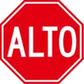 SR-6: Stop
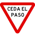 SR-7: Yield
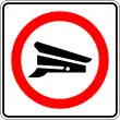 SR-8: Customs
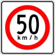 SR-9: Speed limit
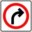 SR-10: Right turn only
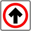 SR-11: Ahead only
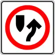 SR-11a: Keep right
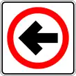 SR-11b: Left permitted
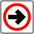 SR-11c: Right permitted
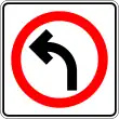 SR-12: Left turn only
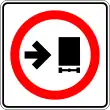 SR-13: Trucks keep right
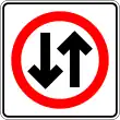 SR-14: Two-way traffic
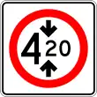 SR-15: Height limit
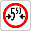 SR-16: Width limit
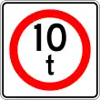 SR-17: Weight limit
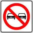 SR-18: Overtaking prohibited
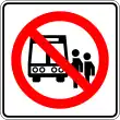 SR-19: Passenger vehicles prohibited from stopping
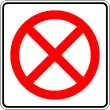 SR-20: No stopping
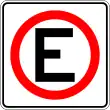 SR-21: Parking permitted
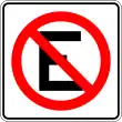 SR-22: No parking
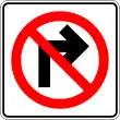 SR-23: Right turn prohibited
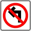 SR-24: Left turn prohibited
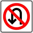 SR-25: U-turn prohibited
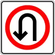 SR-25a: U-turn permitted
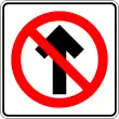 SR-26: No entry
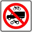 SR-27: Pedal cycles, heavy vehicles and motorcycles prohibited
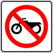 SR-27a: Motorcycles prohibited
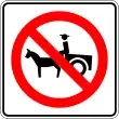 SR-28: Animal-drawn vehicles prohibited
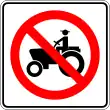 SR-29: Agricultural vehicles prohibited
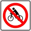 SR-30: Pedal cycles prohibited
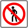 SR-31: Pedestrians prohibited
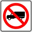 SR-32: Heavy vehicles prohibited
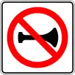 SR-33: Use of audible signals prohibited
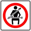 SR-34: Seat belt required
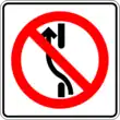 SR-35: No switching to left lane
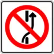 SR-35a: No switching to right lane
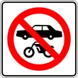 SR-36: Motor vehicles prohibited
 SR-37: One way (left)
 SR-37a: One way (right)
 SR-9a: Maximum speed limit (plaque)
Warning signs
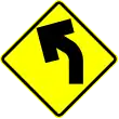 SP-6: Curve (left)
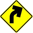 SP-6a: Curve (right)
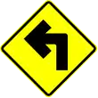 SP-7: Sharp curve (left)
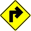 SP-7a: Sharp curve (right)
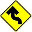 SP-8: Reverse curve (left)
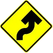 SP-8a: Reverse curve (right)
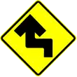 SP-9: Sharp reverse curve (left)
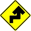 SP-9a: Sharp reverse curve (right)
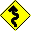 SP-10: Winding road (left)
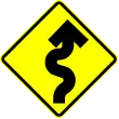 SP-10a: Winding road (right)
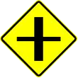 SP-11: Crossroads
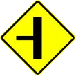 SP-12: T-junction (left)
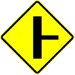 SP-12a: T-junction (right)
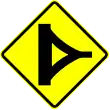 SP-14: Delta junction
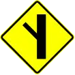 SP-14: Branch junction (left)
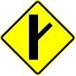 SP-14a: Branch junction (right)
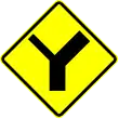 SP-15: Y-junction (left)
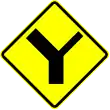 SP-15a: Y-junction (right)
 SP-16: Roundabout
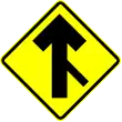 SP-17: Merging traffic
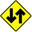 SP-18: Two-way traffic
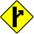 SP-19: Exit ahead
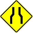 SP-20: Symmetrical narrowing
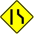 SP-21: Asymmetrical narrowing
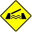 SP-22: Drawbridge
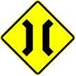 SP-23: Narrow bridge
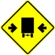 SP-24: Clear width
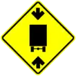 SP-25: Clear height
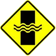 SP-26: Ford
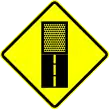 SP-27: Unpaved road ahead
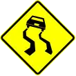 SP-28: Slippery road
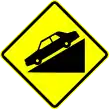 SP-29: Steep descent
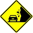 SP-30: Falling rocks
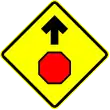 SP-31: Stop sign ahead
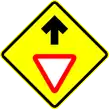 SP-31a: Yield sign ahead
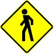 SP-32: Pedestrians
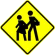 SP-33: School crossing
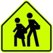 SP-33a: School zone
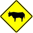 SP-34: Domestic livestock
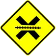 SP-35: Railroad crossing
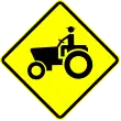 SP-36: Tractors
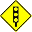 SP-37: Traffic signals ahead
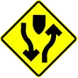 SP-38: Divided road begins
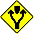 SP-38a: Fork
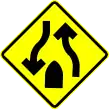 SP-38b: Divided road ends
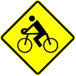 SP-39: Cyclists
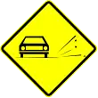 SP-40: Loose chippings
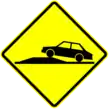 SP-41: Bump ahead
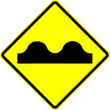 SP-41a: Uneven surface
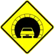 SP-42: Tunnel ahead
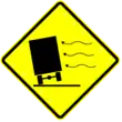 SP-43: Dangerous crosswinds
 OD-12: Chevron
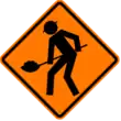 SPP-1: Men working
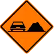 SPP-2: Pile of materials on the way
 SIP-8: Detour
Tourism and services
 SIS-1: Airport
 SIS-7: Litter container
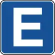 SIS-8: Parking zone
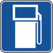 SIS-11: Gas station
 SIS-17: Hospital
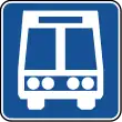 SIS-19: Bus stop
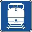 SIS-20: Rail station
 SIS-13: Hotel
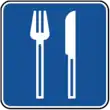 SIS-22: Restaurant
 SIS-51: Disabled accessible ramp
Guide signs
 Advance directional sign
Other
 SIR-1: Railroad crossing
Notes
- ↑ Some new urban signage was introduced in advance of the 2023 NOM by SEDATU in its 2019 Manual de Calles.
- ↑ Compare the Aguascalientes, Jalisco and Mexico City signage manuals, for example.
References
- 1 2 "NORMA Oficial Mexicana NOM-034-SCT2/SEDATU-2022, Señalización y dispositivos viales para calles y carreteras" [Official Mexican Standard NOM-034-SCT2/SEDATU-2022, Signage and Traffic Devices for Streets and Highways] (PDF) (in Spanish). 19 September 2023. Retrieved 2023-11-27.
- ↑ Manual de Señalización y Dispositivos para el Control del Tránsito en Calles y Carreteras (PDF) (in Spanish) (1st ed.). SICT, SEDATU. Retrieved 5 December 2023.
- ↑ "Road and Traffic Signs in Mexico - What You Need to Know". www.rhinocarhire.com. Retrieved 2022-10-28.
- ↑ "SICT y SEDATU ponen a consulta pública NOM sobre Movilidad en México" (in Spanish). SICT. 5 January 2022. Retrieved 27 November 2023.
Dicho proyecto de NOM [se aplica] como un mecanismo para sentar las bases para la conformación de una señalización armonizada en el territorio nacional.
[This NOM project [is conducted] as a mechanism to lay the foundations for the creation of a harmonized signage in the national territory.] - ↑ Manual de señalización de carreteras estatales [State highway sign manual] (PDF) (in Spanish). Guadalajara: Government of the State of Jalisco. 2020. Retrieved April 9, 2023.
External links
- "Secretaría de Comunicaciones y Transportes: Señalamiento" [Secretariat of Communications and Transportation: Signage]. www.sct.gob.mx (in Spanish). Retrieved 2022-12-10.